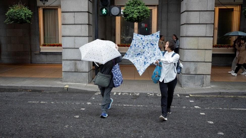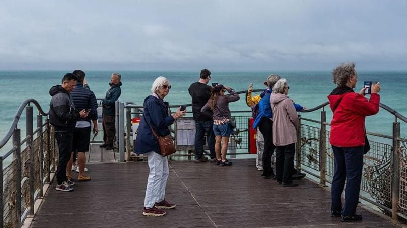
Cooler conditions are moving across the UK from Tuesday, bringing a shift away from the warmth of recent days as more variable weather patterns take hold. Rain is expected to affect northern and western regions particularly, while temperatures will drop significantly compared to Monday's values. The unsettled spell is forecast to persist through the rest of the week before conditions gradually stabilise into next week.
This cooling trend follows the recent transition from summer heat to autumn conditions, which began earlier in September. The shift represents a return to more typical seasonal temperatures after an extended warm period.
What will Tuesday's weather bring?
Tuesday will open with relatively warm and humid conditions across central and south-eastern England, but cooler air is already advancing from the north and west. A cold front will sweep across England and Wales during the day, delivering a band of rain. Behind this system, north-westerly winds will strengthen across all regions, generating showers—some heavy—particularly over Scotland, Northern Ireland, and the north-western portions of England and Wales.
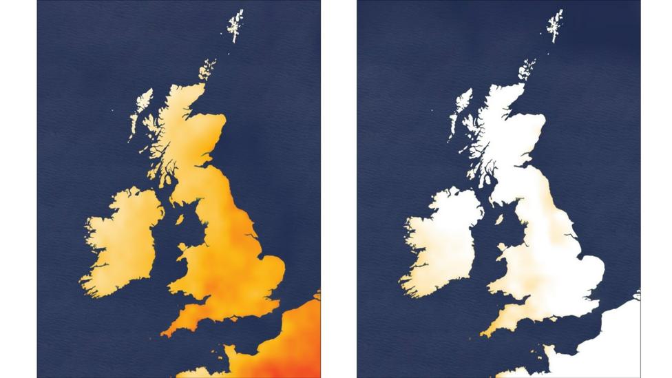
Maximum temperatures will reach 17 to 22°C across the UK, approximately five degrees lower than Monday's highs. These values align more closely with average temperatures for this time of year.
How will conditions change mid-week?
Wednesday will offer a drier and brighter interlude, providing temporary relief from the rain. However, unsettled weather will return for the remainder of the week, with further spells of rain expected. Temperatures will hold steady around average levels, ranging from 15 to 20°C during the day.
Overnight temperatures will dip noticeably to between 8 and 12°C, creating conditions that feel distinctly autumnal. Those commuting early to work or school may need to add extra layers, marking a noticeable shift from summer dressing.

Will warmer weather return?
By Saturday, wind direction will shift toward the west and south-west, introducing slightly warmer air. High pressure is expected to build, bringing drier and brighter conditions that could feel pleasantly warm, particularly across south-eastern areas. Temperatures may temporarily rise above average into the following week.
However, the prospect of a September heatwave is becoming increasingly unlikely. According to the Met Office's long-range forecast updated on 14 September, the period from 18 to 27 September will most likely remain changeable, with occasional rain or showers—especially in northern and western areas—plus some strong winds at times. The same outlook indicates there will be some drier, more settled periods, particularly in the south, with a possibility these extend further north later in the period.
For the 18 to 27 September window, temperatures are expected to be close to average overall, though some rather warm days are possible alongside occasional cool nights with a risk of grass frost.
What makes September weather so unpredictable?
September is notoriously fickle, with conditions capable of shifting dramatically based on wind direction alone. The season can swing from chillier, autumnal weather to warmer conditions and back again within a single day. This variability means that while current forecasts suggest cooler conditions this week, the potential for rapid changes remains throughout the month.
The broader autumn outlook suggests a warmer and wetter-than-normal season overall, though this does not preclude individual weeks of cooler or drier weather within that pattern.
What happens beyond late September?
The Met Office's next long-range window, covering 28 September to 12 October, continues to indicate changeable weather with further rain and showers as the most probable pattern. This suggests the unsettled character of early autumn will persist into early October, with no indication of a return to sustained heat or drought conditions.
Key Facts
- Temperatures will drop by around 5°C on Tuesday compared to Monday, reaching 17–22°C across the UK
- Rain and heavy showers are expected particularly in northern and western regions, with a cold front moving south-east across England and Wales
- A September heatwave is increasingly unlikely, with conditions expected to remain near or slightly above average rather than exceptionally warm
- Overnight temperatures will fall to 8–12°C, creating conditions that feel distinctly autumnal
- The broader pattern through late September and into October is forecast to remain changeable with frequent rain and showers