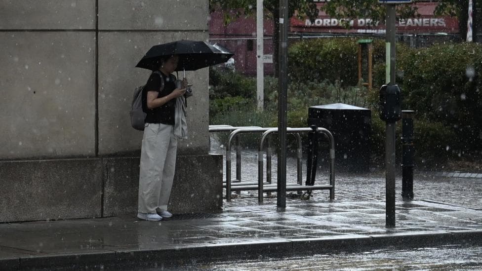
Meteorological summer has concluded, schools have reopened, and unsettled weather patterns are returning to the United Kingdom. Following a temperature spike on Sunday, a succession of low pressure systems will deliver wet and windy conditions across much of the country, particularly affecting northern regions early in the week. Conditions are expected to stabilise from Wednesday onwards, with temperatures dropping noticeably across England and Wales after Sunday's heat reached nearly 29°C (84°F) in south-east England.
The preceding week proved exceptionally wet for England, marking the wettest seven-day period since early February according to the Environment Agency. Meanwhile, Spain experienced extreme heat, with Huelva recording 45.7°C, the nation's highest temperature of the year to date.
What will happen on Monday?
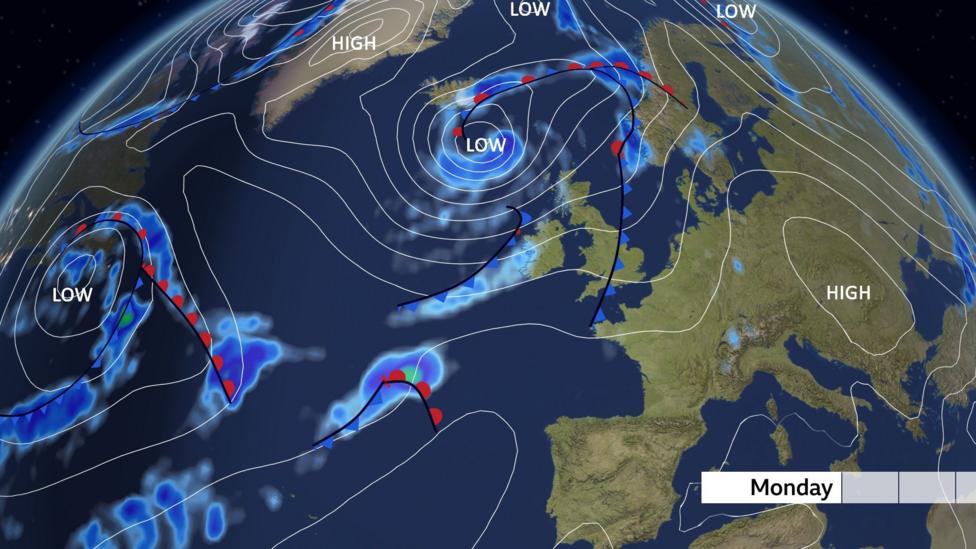
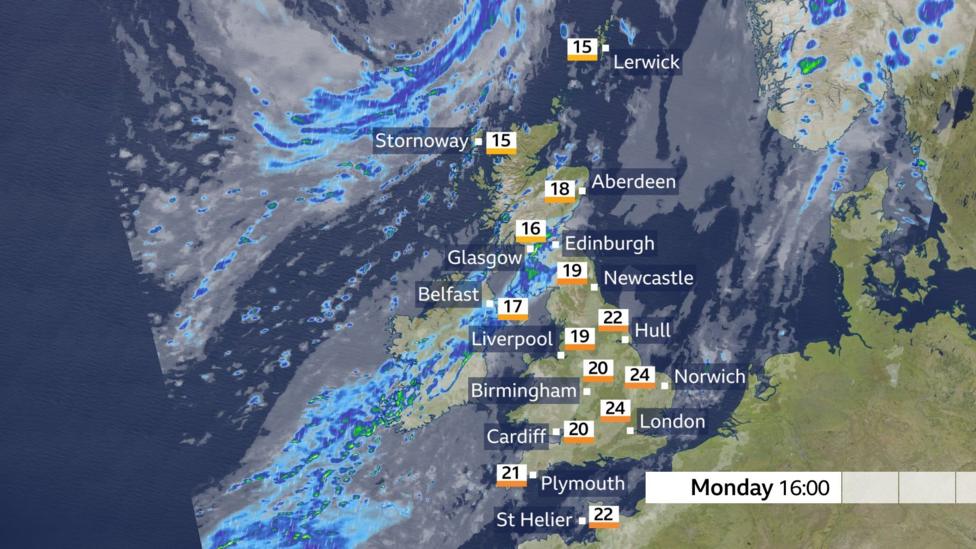
Falling pressure, shifting wind direction and a weather front descending from the north-west signal the transition to cooler, fresher conditions. A band of cloud carrying scattered showers will move across England and Wales, with sunny intervals following behind. South-east England will see temperatures peak at 25°C, while cooler and less humid air masses replace the previous warmth.
Northern Ireland will experience heavier rainfall beginning Monday morning, which will extend into Scotland and Cumbria by afternoon. Strong and gusty south-westerly winds will accompany this rain, suppressing temperatures to around 17°C across Scotland and Northern Ireland. Despite the cooling trend, many locations will still register temperatures above the seasonal norm for this period of the year.
How severe will the wind be on Tuesday?
A deep low pressure system positioned north-west of Scotland will create particularly windy conditions across the northern UK on Tuesday. Northern and western Scotland face possible wind gusts of 50-60 mph, which, although typical for this season, could cause disruption if funnelled through the central lowlands. Frequent showers will accompany the windy weather in these regions.
Southern areas across England and Wales will experience rain lingering from overnight, particularly in the south-east during Tuesday morning before clearing. This rainfall will be relatively light, and much of England and all of Wales remain in drought conditions, meaning the precipitation will provide limited relief to water-stressed areas.
When will conditions improve?
The low pressure system will shift into the North Sea by Wednesday, though the east coast will remain windy for a period. Rising pressure will establish a drier midweek pattern across most of the UK, featuring some sunshine and lighter winds. Showers are forecast to return to western regions on Thursday, though these will diminish by Friday as they move eastward. Temperatures from midweek onwards will align with seasonal averages, with south-east England reaching a high of 22°C.
What does the longer-term outlook suggest?
Early September is likely to remain wetter than average, particularly in north-western areas, according to the Met Office. A north-west to south-east split in conditions is expected, with only low confidence in a late warm spell. The Met Office also indicates that temperatures are likely to remain around average for September overall, though some warm spells may develop in the south.
The changeable weather pattern could persist through mid-September, with occasional heavy rain, thunderstorms and strong winds possible during this period. A return to heatwave conditions appears unlikely over the next ten days. However, warmer conditions may return briefly, with south-east England potentially reaching 27°C by the weekend before fresher air and rain arrive in the following week. Drier and warmer conditions may eventually establish later in September as high pressure builds, though unsettled weather is expected to dominate the first half of the month, particularly in north-western parts of the UK.
Key Facts
- Low pressure systems will bring wet and windy weather, especially to northern regions on Monday and Tuesday
- Temperatures will drop to around 17°C in Scotland and Northern Ireland, with south-east England reaching 25°C on Monday
- Wind gusts of 50-60 mph are possible in northern and western Scotland on Tuesday
- Conditions will stabilise from Wednesday with rising pressure and drier weather for most areas
- Early September is forecast to remain wetter than average, particularly in the north-west