A powerful El Niño event is intensifying across the Pacific Ocean, thousands of kilometres from the UK, yet its effects on global wind patterns mean disruption will be felt far beyond the tropical Pacific. Forecasters warn that the UK faces an elevated risk of wet and stormy conditions through autumn and into early winter, with the potential for significant flooding and transport disruption.
The developing El Niño is already showing unprecedented strength. According to NOAA's Climate Prediction Center, there is a greater than 90% chance of a very strong event during the Northern Hemisphere fall and winter 2026–27. The World Meteorological Organization forecast indicates a seasonal average sea-surface temperature anomaly of about 2.9°C for August–October 2026, with intensification peaking in November.
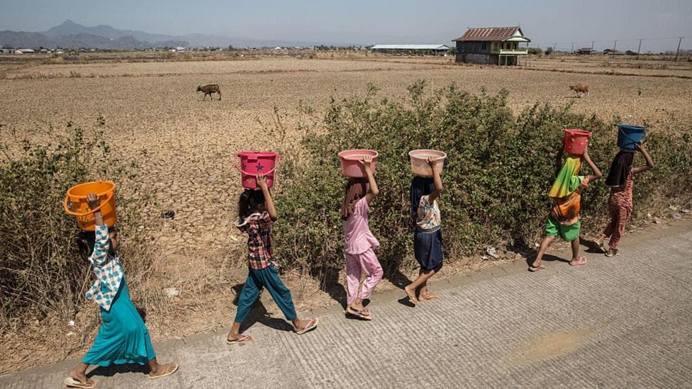
While the most severe immediate impacts will centre on the tropical Pacific—with increased flooding and landslide risk in Peru and Ecuador, and drought and wildfire threats in Australia—the disruption to global atmospheric circulation will extend worldwide.
Earlier this year, El Niño officially began, with warnings of a potentially super-strong event that could drive record global temperatures and disrupt weather patterns through 2027.
Why autumn storms are likely
The Met Office expects increased rainfall and storminess across the UK, particularly from November onwards. Professor Adam Scaife, head of long-range forecasts at the Met Office, stated that the scale of the developing El Niño is unprecedented in modern climate records.
I have not seen an event like this developing in our forecasts before, he said. As the event approaches its peak by the end of 2026, its influence around the world will intensify, with effects spreading across the globe.
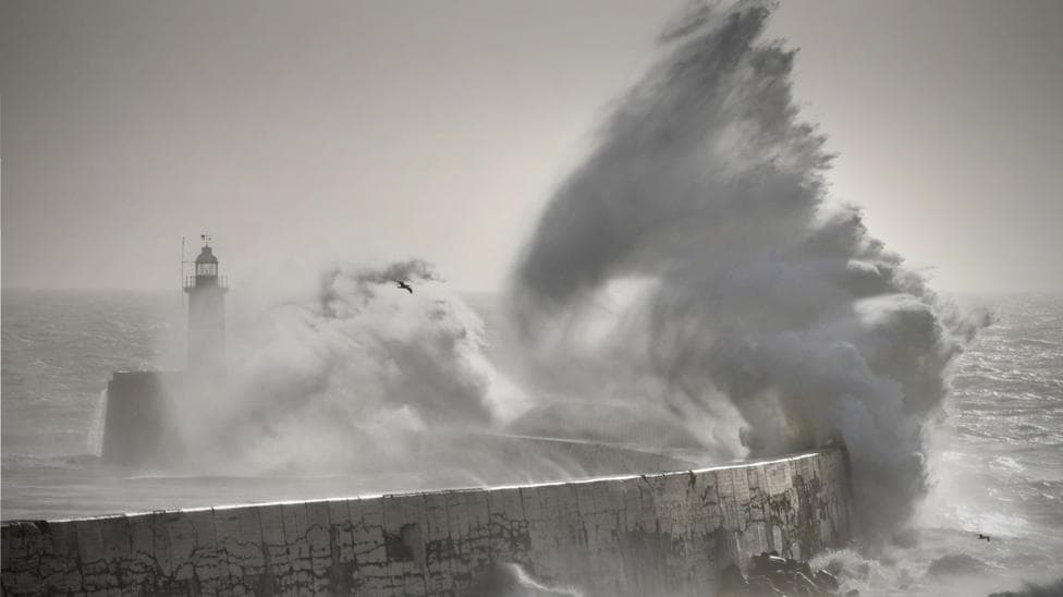
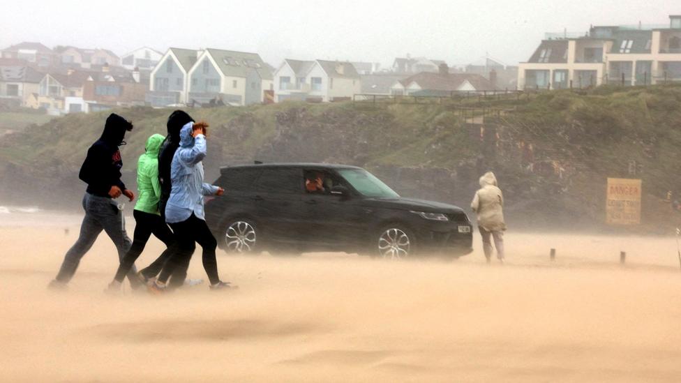
Forecasters already detect signals pointing to increased rainfall and storminess in autumn across the UK, with November and December expected to be particularly affected. After a summer that looks set to be the UK's hottest on record and with drought conditions continuing to grip large areas of the country, a wet autumn might initially seem beneficial. However, climate change is making increasingly intense rainfall more likely, meaning these storms and downpours will bring significant flooding risks alongside them. Strong winds could also cause damage, disrupt transport networks and trigger power cuts.

The winter of 2015 and 2016 provides a cautionary example. That period coincided with a very strong El Niño and brought a succession of major storms delivering what experts at the time described as the most extreme flooding on record.
Will the winter be cold?
The relationship between El Niño and winter cold spells in the UK is less clear-cut. While El Niño can be associated with cold weather in late winter, the link is weak and historical evidence is mixed. The Big Freeze of winter 2009/2010, the coldest in three decades at the time, coincided with an El Niño event. Yet the winter of 2006/2007 also occurred during an El Niño and proved unseasonably warm instead.
Forecasting becomes increasingly uncertain the further ahead meteorologists look. While El Niño may increase the probability of cold weather early in 2027, this outcome is not guaranteed. The unpredictability reflects the complex interplay between multiple climate systems and the difficulty of long-range prediction.
What about next summer's heat?
Globally, a very strong El Niño typically raises average temperatures by 0.2°C. Although this may seem modest, when combined with the warming effect of human-induced climate change it will increase the risk of heatwaves worldwide. However, El Niño's effects vary by location, and its links to hot weather specifically in the UK remain uncertain.
Dr Akshay Deoras, a climate scientist at the University of Reading, emphasised that long-term global warming remains the dominant driver of rising UK temperatures and increasing extreme heat risk.
Long-term global warming remains the more significant driver of the UK's rising temperatures and increasing risk of extreme heat, he said. On the timing of next summer's conditions, he added:
It is still too early to say what next summer will bring for the UK, however El Niño's additional warming, coupled with the UK's already warmer climate, could provide the conditions for a hot summer.
What happens next
The critical monitoring period is the Northern Hemisphere fall and winter 2026–27, when the El Niño event is expected to reach its strongest phase. According to the International Research Institute's forecast, the model ensemble points to a remarkably strong 2026 El Niño, with most models predicting a very strong event from August–October 2026 through December 2026–February 2027. The very strong phase is expected to persist through the winter months, meaning the UK's exposure to stormy, wet conditions will be prolonged.
It is important to note that no two El Niño events are identical. While the current developing event may increase the likelihood of certain weather patterns occurring—particularly wetter and stormier conditions in autumn and early winter—these outcomes are not guaranteed. Individual weather systems will continue to be shaped by numerous atmospheric factors beyond El Niño's influence.