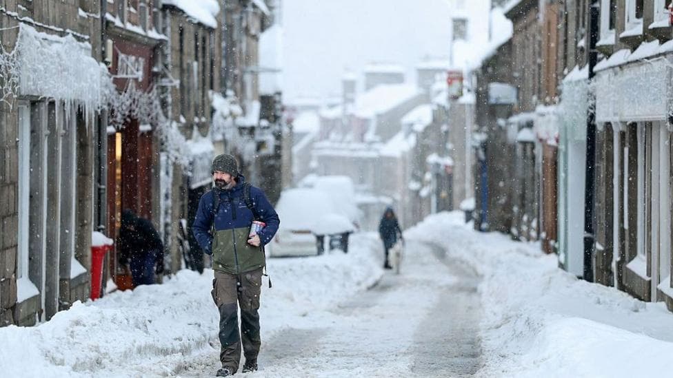
High above the Arctic, powerful westerly winds normally circle the North Pole throughout winter, trapping some of Earth's coldest air in place. But in recent days, this circulation—known as the polar vortex—has weakened significantly and shifted position. According to BBC News, scientists have identified this disruption as unprecedented in modern observations for its timing in early November, occurring months earlier than such events typically develop.
Disruptions of this kind have occasionally preceded colder weather across parts of Europe and North America in previous years. However, because this event is unfolding so early in the season, meteorologists have few historical precedents to draw upon, and the implications for winter forecasts remain highly uncertain.
How does the polar vortex form and what causes it to weaken?
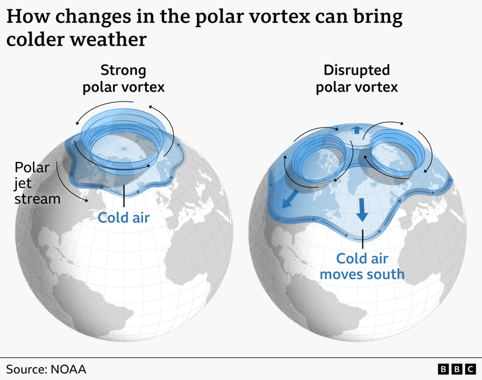
The polar vortex develops each autumn as Arctic temperatures drop. Strong westerly winds form in the stratosphere—roughly 10 to 30 miles (15 to 50 kilometres) above Earth's surface—creating a barrier that locks the coldest air near the pole. Atmospheric disturbances can trigger warming in the upper atmosphere, which weakens these vortex winds. This process, called sudden stratospheric warming (SSW), can eventually reverse the strong westerlies into easterly winds.
When this reversal occurs, changes propagate downward through the atmosphere over subsequent weeks. According to the Met Office, stratospheric changes can take two to six weeks to reach the troposphere, where day-to-day weather develops. These upper-level shifts can alter the position of the jet stream, increasing the likelihood of a blocked weather pattern characterised by drier conditions and colder northerly or easterly winds bringing Arctic air southward. Such patterns can also increase the possibility of snow, particularly in eastern regions of the UK.
Why is this event so unusual?
Most SSW events occur from mid-winter onwards, but the current dramatic weakening of the polar vortex is happening in early November. Some forecasts indicate a reversal of the polar vortex winds by mid-November. Due to this weakening, the vortex has stretched and briefly split into two smaller circulations around the Arctic.
If the winds continue to weaken and reverse as predicted, the event will be classified as a major SSW. Jeff Knight, lead climate scientist from the Met Office, told the BBC:
It would appear to be the earliest on record looking back over the 75 years we've been observing…with most experts agreeing this is a very unusual event.The current earliest major SSW event on record occurred on 28 November in both 1969 and 2025.
The reasons for this unusually early event remain unclear. It could simply reflect natural variability in weather patterns. However, the exceptionally strong El Niño currently developing in the Pacific may be playing a role. In typical El Niño years, weakening of the polar vortex tends to occur towards the end of winter. Although warmer Pacific waters in an El Niño directly disrupt tropical weather, pulses of energy in the atmosphere known as planetary waves can propagate to polar regions, pushing the polar vortex out of position and disrupting its circulation.
According to reporting on the Met Office analysis, the current large El Niño may be contributing to the disturbance, though the agency stresses that any effect on surface weather remains uncertain. Knight suggested the strong El Niño could have
helped load the dice for this SSW event. However, because this is so rare, there's not enough evidence.A definitive link between strong El Niño events and early SSW onset will require further research.
What does this mean for UK winter weather?
Long-range forecasts from the Met Office issued before this early SSW event predicted a stormy start to winter for the UK, followed by a colder spell towards the end of the season—a pattern consistent with El Niño influences. However, this unusually early disruption was not widely anticipated and complicates the forecast picture.
Professor Andrew Perez-Charlton, a meteorologist at the University of Reading, explained:
The typical response to a SSW is for colder and drier conditions over Europe and the UK.He added:
Because we haven't seen a SSW event quite like this before, it is harder to anticipate a cold spell at the moment.
Several factors limit confidence in predicting UK impacts. The Arctic has not yet reached the extreme cold it develops later in winter, and the polar vortex itself only recently formed. Any influence on weather patterns could be weaker than disruptions occurring at mid-winter. Additionally, because the air is not yet at mid-winter temperatures, cold and snowy weather for the UK is far from guaranteed.
The Met Office's 5 November update introduced further uncertainty, noting that the expected wind reversal may be weak and short-lived, and it remains uncertain whether the event will meet the definition of a major SSW. The Met Office also cautioned that a major SSW does not automatically bring UK snow or severe cold; high pressure could instead produce quieter, drier weather with more frost and fog.
While significant snow is not expected in the coming weeks, the possibility of continued drier-than-average conditions poses a different concern for the UK.
What are the implications for water supplies?
Long-term forecasts have been heavily influenced by the exceptionally strong El Niño, which pointed to a stormier autumn and early winter, potentially followed by colder and drier conditions from January. This early polar vortex disruption presents meteorologists with an unprecedented situation for which few modern comparisons exist.
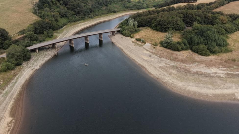
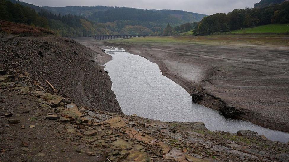
For Perez-Charlton, the most pressing concern is whether this event brings the typical drier weather pattern and reduced rainfall associated with sudden stratospheric warming over the coming months. With most of England and Wales still experiencing drought conditions, a wetter winter is essential to replenish extremely low reservoir levels. Continued dryness would compound existing water supply challenges.
What happens next?
Experts emphasise that it is too early to determine whether recent changes in the polar vortex will alter the winter outlook. Forecasters will monitor whether the stratospheric changes propagate downward through the atmosphere. The Met Office has stressed that this is not currently a forecast of an impending UK cold spell, and the situation remains fluid as observations develop over the coming weeks.