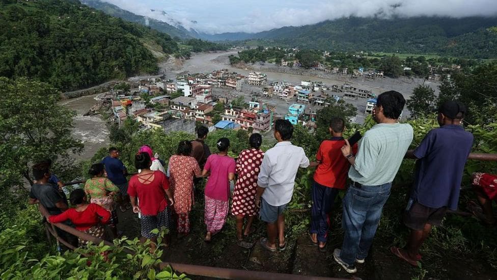
Described by scientists as a
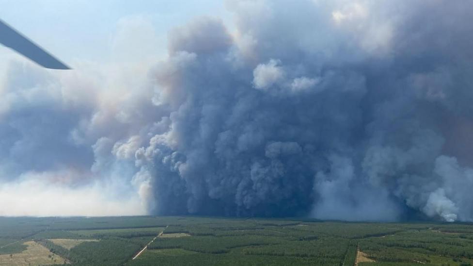
"fire-generated thunderstorm", pyrocumulonimbus clouds are being created in the skies of France as tens of thousands of people are evacuated from Bordeaux's surrounding region of Gironde. France continues to fight wildfires being stoked by an unprecedented
"pyrocumulonimbus", or fire cloud, phenomenon.
Scientists sometimes describe these clouds as a fire-generated thunderstorm because the fire itself provides the energy needed to build the cloud. The huge amount of heat generated by wildfires makes the air above the fire rise rapidly, carrying smoke, ash and water vapour high into the atmosphere.
As the air rises, it cools and the water vapour condenses into a cloud. If the fire is powerful enough and the atmosphere is unstable, that cloud can grow into a towering cumulonimbus - the same type of cloud associated with thunderstorms.
Turbulent winds created by the fire clouds can send embers shooting off in all directions, making wildfires unpredictable and harder to fight. Lightning strikes can also spark more blazes.
Live: French wildfire creates lightning storm as it threatens Bordeaux
Thousands of acres burnt in wildfires in Gironde
More than 300,000 flee wildfires in France and Spain
French firefighting authorities have blamed the phenomenon for the blazes near Bordeaux, adding that it had never before been seen in the country.
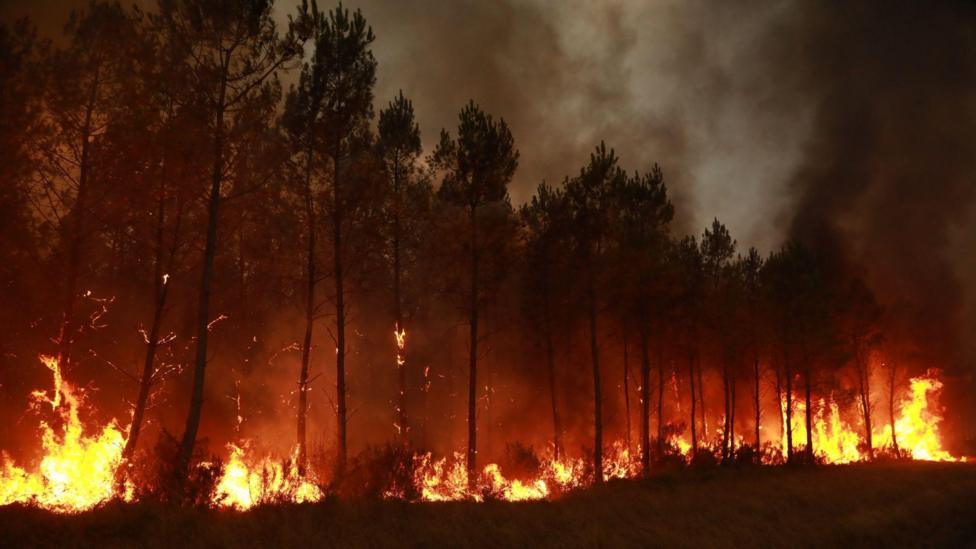
Across Europe, the summer months have sweltered through intense, record-breaking heatwaves with minimal rain. This has meant regions have become dry and susceptible to wildfires which have been sparked in France, Spain and the UK.
On Monday the Gironde prefecture said the situation remained
"broadly stable"overnight.
But efforts to tackle the blaze could get further complicated with another heatwave forecast later this week with highs of up to 40C (104F) predicted in France this week.

The wildfire in Gironde will likely burn
"for many weeks"and could take months to fully extinguish, a senior official involved in the response has warned.
French firefighters that blazes may have caused an unprecedented pyrocumulonimbus cloud
Pyrocumulonimbus are more likely when there are extremely dangerous conditions such as high temperatures, strong winds and little moisture. Scientists have predicted that climate change is likely to increase the chances of such events.
While once seen as fairly rare events, a similar example was seen during the 2019-2020 Black Summer bushfires in Australia, which created extreme
"firestorms"that made its own weather.
The event was one of the most intense and catastrophic fire seasons for the country, with at least 33 people killed - including four firefighters - and more than 11 million hectares (110,000 sq km or 27.2 million acres) of bush, forest and parks across Australia burnt.
Fire officials in New South Wales reported that embers from the storm were landing 18 miles (30km) ahead of the front which was three times more than the usual distance.
At the time, Nasa described pyrocumulonimbus as
"the fire-breathing dragon of clouds, external"as they funnelled smoke like chimney into the earth's atmosphere while hurling thunderbolts, wind and rain.
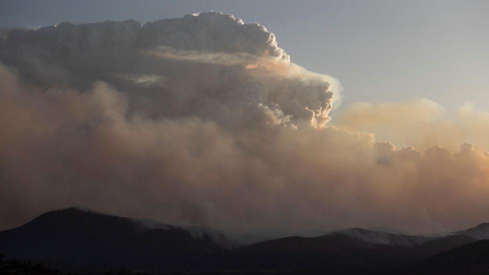
Similarly in California through the summer of 2021, the intense fires raging across the western United States generated pyrocumulonimbus. Smoky clouds towered a mile (1.6km) and rose over the blaze in California and surrounding states.
California firefighting officials said at the time the season saw more than 7,300 wildfires burning across 1 million hectares (2.5 million acres) and at least three firefighters killed.
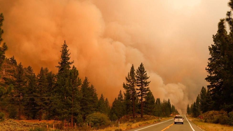
Smoke rising in Markleeville, California during the July wildfires in 2021
'Hotter and hotter and hotter' - Europe's new climate in seven charts
How do you fight extreme wildfires?