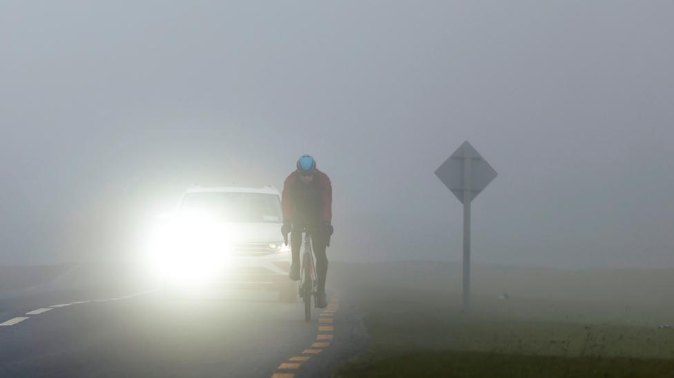
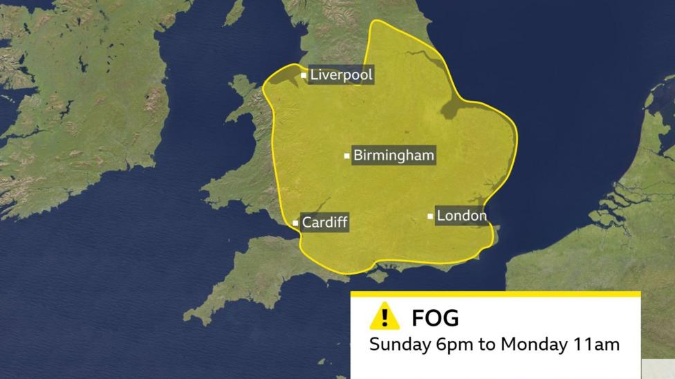
The Met Office has issued a yellow weather warning for dense fog affecting much of England and eastern Wales, with the alert running from 6pm on Sunday through 11am on Monday. According to BBC News, the warning encompasses the Midlands, East Anglia, south-east and central southern England, north-west England, Yorkshire and the Humber, parts of south-west England and eastern Wales. Major urban centres including London, Birmingham, Cardiff and Greater Manchester fall within the affected zone.
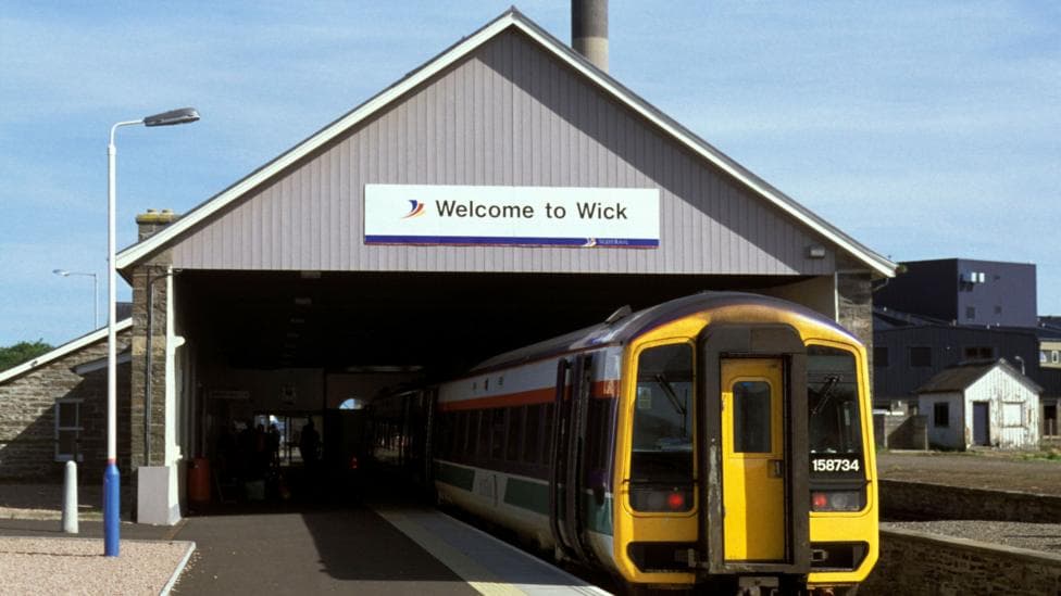
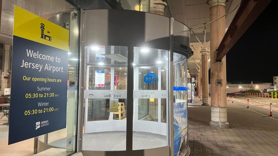
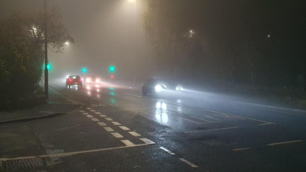
The Met Office's latest update indicates the warning area has been expanded over England and into north-east Wales, with the alert rated as having high likelihood (50–75%) and moderate impact. Visibility could drop below 50 metres in some locations, creating hazardous driving conditions. Bus, train, ferry and flight services may experience delays or cancellations as a result of the poor visibility.
Fog will gradually disperse through Monday morning, though isolated patches may persist into the afternoon in some areas. Commuters should also prepare for a cold start to the day, with temperatures expected to fall into low single figures across most regions and ground frost likely in many locations.
How does fog form?
Fog will be more extensive than in previous nights because clearer skies across England and Wales permit heat to escape rapidly, causing temperatures to plummet. In northern parts of the UK where skies remain clear for extended periods, patchy fog could also develop outside the designated warning area.
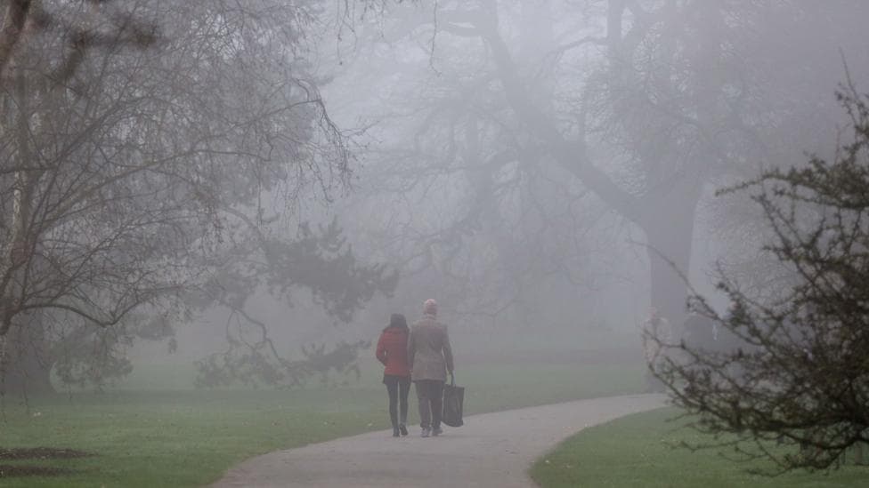
Fog develops when air cools and water vapour condenses into microscopic droplets suspended near the ground, effectively creating cloud at ground level. Mist forms through the same process but is less dense, with visibility typically exceeding 1,000 metres (1km).
What should travellers do?
Visibility of 50 metres or less can trigger severe travel disruption. The Met Office advises drivers to verify road conditions before departing and activate fog lights when visibility becomes significantly reduced. Allowing extra time for journeys and adjusting plans as necessary are essential precautions. The RAC motoring organisation recommends maintaining an increased stopping distance between your vehicle and the one in front.
For those using public transport or flying, checking for updates from service operators and following their guidance is crucial. Aircraft require greater spacing when landing in fog, which can result in flight delays.
What happens next?
The Met Office forecast indicates that dense fog may develop again overnight into Monday, with patchy frost expected, and fog may be slow to clear, particularly in central areas. Commuters should monitor weather updates closely as conditions evolve throughout the weekend and into Monday morning.
This fog event continues a pattern of hazardous weather conditions affecting the UK. High pressure systems have been bringing calmer, settled weather with repeated fog formation through early November, making visibility warnings increasingly common during this period of the year.