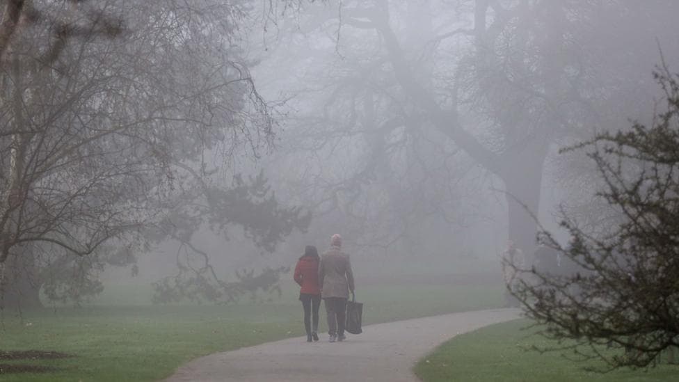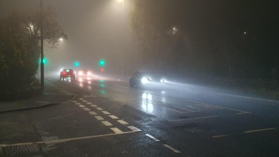
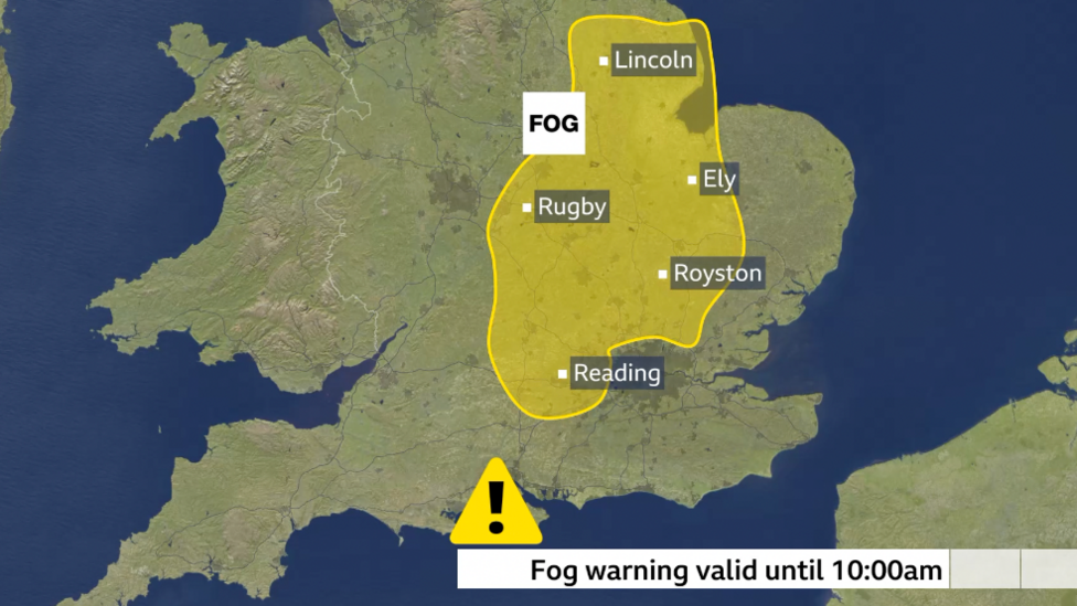
Dense fog has developed across parts of the United Kingdom on Friday morning, creating potentially dangerous conditions for drivers during the morning commute. According to BBC News, the Met Office has issued a yellow severe weather warning for fog affecting Lincolnshire, the East Midlands, the Home Counties and parts of Greater London.
Visibility will drop significantly in affected areas, falling below 100 metres at times, with the most extensive disruption expected during the morning rush hour. The fog is forecast to gradually thin, lift and clear as the morning progresses, though in some rural locations across eastern England it may persist until the afternoon.
The Met Office rated the Friday fog warning's likelihood as very high, exceeding 75%, with a moderate impact assessment. The Met Office's warning system indicates drivers should exercise caution in the affected regions during peak travel times.
What to expect over the weekend
Saturday morning will bring early mist and fog patches that may develop into low cloud persisting throughout the day in many locations. However, some areas will experience brighter conditions with spells of sunshine, and most regions should remain dry. The notable exception will be north-west Scotland, where a weak weather front will introduce thicker cloud cover and rain for a period.
Temperatures will remain close to seasonal averages, similar to conditions experienced in recent days. The Met Office's current UK outlook indicates fog is expected widely across England and Wales early Sunday, with some patches slow to clear, and similar conditions are forecast for Monday and Tuesday.
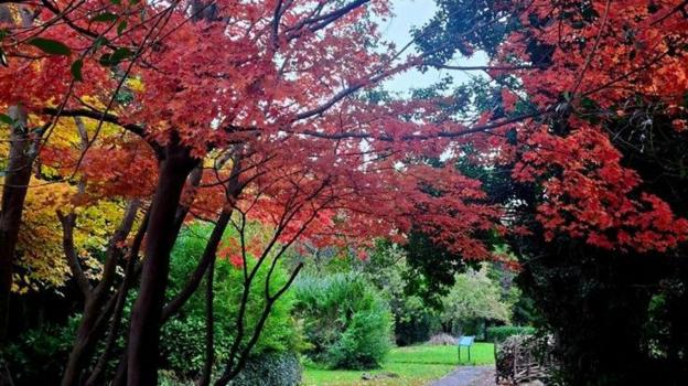
By Sunday, the weakening weather front will bring thicker cloud to Wales and central England, with a few patches of light rain or drizzle possible, though precipitation will be minimal. The remainder of the UK will experience a dry day with variable cloud and occasional sunshine. As conditions improve, people will have opportunities to venture outdoors and appreciate the autumn landscape.
When will the next storm arrive?
High pressure has been building across the UK and is set to dominate weather patterns in the coming days, representing a stark contrast to the previous week when a cluster of storms battered the nation, driven by a powerful Atlantic jet stream. The jet stream, still positioned close to the UK, is now being influenced by the developing high pressure system, which will bring much quieter conditions overall.
Although Storms Austen and Boelo provided some short-term hydrological benefit, the Environment Agency reports that 82% of England remains in drought status. The area of high pressure is expected to remain over or near the UK for at least ten days as a result of a 'diffluent blocking pattern' forming in the Atlantic jet stream across the UK and western Europe, preventing weather systems from reaching British shores.
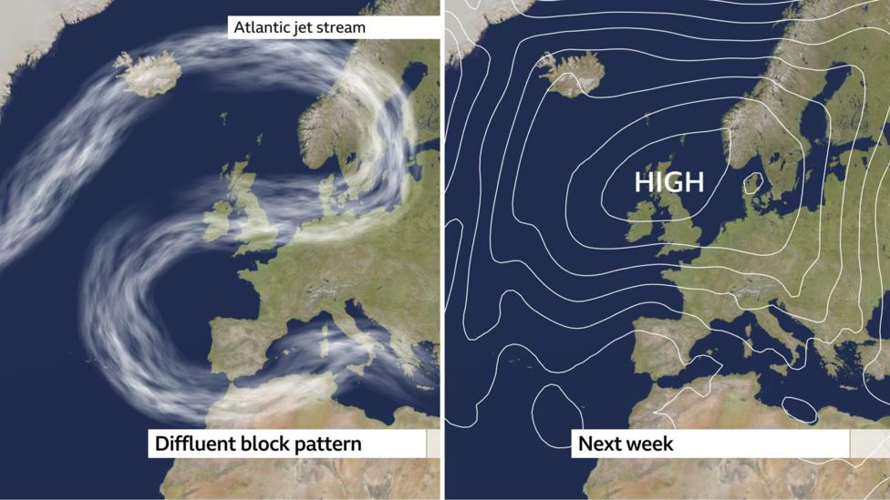
This blocking pattern means the UK is heading into an extended period of mostly dry weather. While some patches of low cloud and drizzle associated with early morning mist and fog may occur, rainfall amounts will be negligible. With no storms visible on the horizon in the near term, it is likely to be considerably longer before Storm Chloe, the next designated name on this year's storm list, reaches the UK.
Drought concerns amid prolonged dry spell
The absence of significant rainfall in the short term raises concerns about England's ongoing drought and depleted water levels in reservoirs. Following the latest meeting of the National Drought Group, water companies have been urged to accelerate the repair of leaks, while the public has been encouraged to reduce water consumption by taking shorter showers and turning off taps while brushing their teeth.
The Environment Agency states that 20% more rain than average is needed over the next six months for the drought to end. Philip Duffy, Chief Executive of the Environment Agency, commented on the situation:
The recent rain is welcome, but the drought isn't over. A few wet days cannot reverse months of hot, dry weather. Our rivers, reservoirs and groundwater need sustained rainfall to recover, and the effects on nature can last much longer.
Long-term outlook and El Niño influence
El Niño has been associated with wetter and stormier weather patterns during late autumn and early winter. The Met Office's current three-month outlook forecasts that there is double the chance of conditions being wetter than normal during this period, offering some hope for eventual relief from the drought conditions.