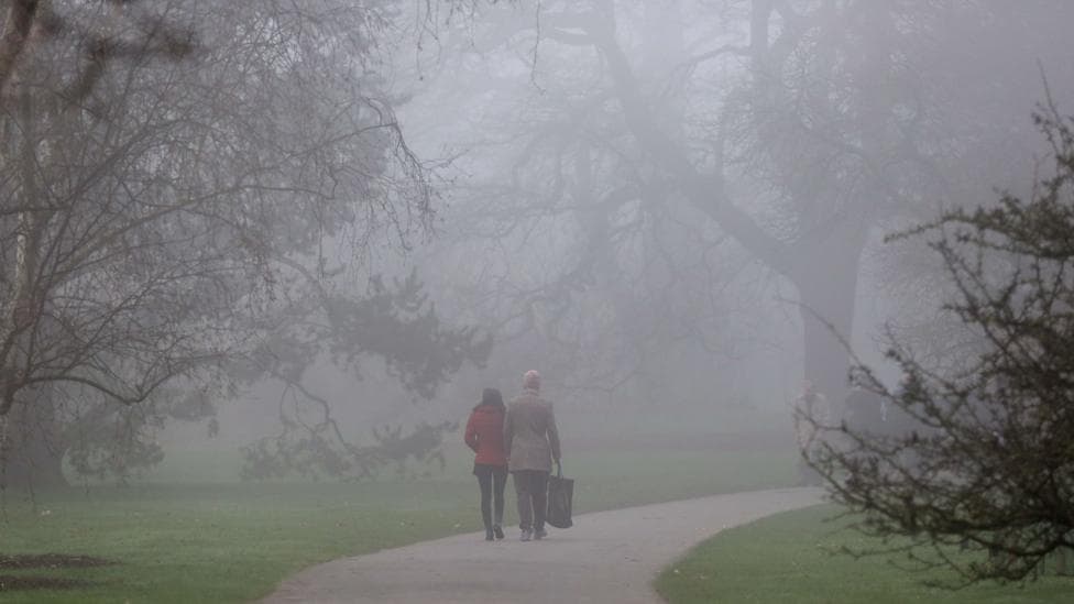
Thick fog will develop across parts of the United Kingdom over the coming days, posing significant risks to motorists during peak travel times. According to BBC News, the most dangerous conditions are expected to emerge on Thursday morning as winds ease and visibility drops sharply. The fog may persist into lunchtime in some locations, affecting both the Thursday commute and subsequent days as high pressure establishes itself across the country.
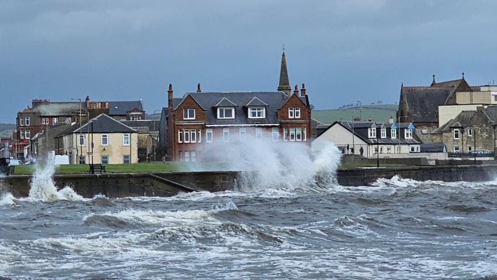
The transition from recent stormy weather to calmer conditions will set the stage for fog formation. A highly active jet stream—the fast-moving wind current high in the atmosphere—has been driving deep areas of low pressure toward the UK, but this system is now weakening. High pressure will begin to develop in its place, bringing lighter winds and more settled conditions. However, in late autumn, high pressure systems typically trigger mist, fog, low cloud cover, colder days and frosty nights.
What will Wednesday's weather bring?
Wednesday will mark a transition day with calmer conditions compared to the recent stormy spell. The morning will be noticeably colder than recent days, and while most areas will remain dry, showery rain is expected mainly across southern Scotland, northern England and north Wales. The Met Office listed no UK weather warnings for Wednesday 28 October, indicating that conditions, though unsettled, will not reach warning thresholds. This rain band will gradually move south-eastward across Wales and into the Midlands during the morning before clearing away.
The afternoon will turn largely dry with sunny spells developing across most of the UK, with temperatures reaching 12 to 16°C—slightly above average for late October. Regional forecasts show variation across the country: the Met Office forecast for Witham, Essex, showed a dry Wednesday with sunny intervals and a high of 15°C, while the local forecast for Salford predicted light rain changing to cloud around lunchtime on Wednesday 28 October, with a high of 15°C.
When will fog create the most dangerous driving conditions?
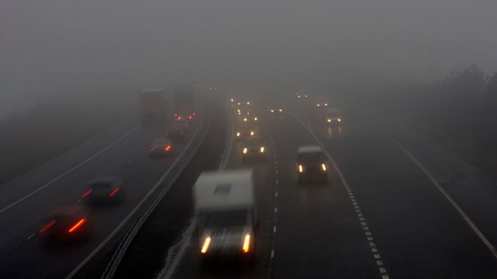
During the night into Thursday, winds will ease significantly and mist and fog will develop, particularly affecting east Wales, central and southern England. This fog could become dense in places, creating hazardous conditions for drivers during the Thursday morning commute. In some locations, the fog may not clear until lunchtime, potentially disrupting travel throughout the morning rush hour.
From Friday through Saturday, rain is forecast across Scotland, Northern Ireland and northern areas of England and Wales. However, mist and fog may form again across eastern and southern England during this period, continuing to pose visibility challenges for motorists in these regions.
How long will this settled weather pattern last?
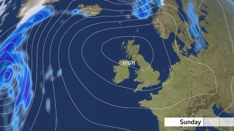
High pressure will become more widely established over the weekend and into the following week. With light winds persisting, mist and fog are likely to form repeatedly during overnight periods and linger through the mornings. In some areas, the mist, fog and low cloud may not clear at all, creating persistently chilly conditions. This more settled weather pattern currently appears likely to continue throughout much of the first week of November.
The arrival of high pressure brings a significant shift from the recent active weather pattern. This calmer regime will also mean much-needed rain will be in short supply. Despite October delivering around average rainfall to drought and severe drought areas of England and Wales, some reservoirs remain exceptionally low. The extended dry period forecast for early November could further strain water resources in already-affected regions.
Key Facts
- Thick fog will develop on Thursday morning, particularly in east Wales, central and southern England, creating hazardous driving conditions during the commute
- High pressure will establish across the UK from Sunday into next week, bringing lighter winds and repeated fog formation during overnight periods
- Wednesday will be largely dry with sunny spells and temperatures of 12 to 16°C, though showery rain will affect parts of Scotland, northern England and north Wales in the morning
- Fog may linger until lunchtime in some locations on Thursday, and mist and fog are likely to reform across eastern and southern England from Friday onwards
- The settled weather pattern is expected to continue through much of early November, with limited rainfall in a period when water resources are already strained