Five writers take to Britain's rivers this summer, using paddleboards, canoes, tents, fishing rods and walking boots to explore waterways from Yorkshire to Wales. Their journeys range from a tidal stretch of the Esk near Whitby to the wild moorland sources of the Severn and Wye in mid-Wales, offering a portrait of how these rivers shape both landscape and leisure across the country.
What makes the Esk in North Yorkshire worth paddling?
The Esk stands out because it is the only major Yorkshire river that empties straight into the North Sea, running 28 miles from moorland to coast. On a hot, sunny afternoon, one writer set out on a paddleboard from the tidal section near Whitby's New Bridge, watching traffic cross overhead while the marina, piers and town bustled with visitors drawn to fish and chips, amusement arcades and seaside folklore. In autumn, the town's Goths gather in costume for their annual parade through the cobbled streets.
Despite the crowds on land, the river itself felt calm: a salmon leapt nearby, bubbles rose from submerged seaweed, and old boats sat half-swallowed by grassy banks. Evening paddlers might catch sight of crews from Whitby's three rowing clubs out on the water.
Paddlers can launch from the slipway behind the marina car park near Coates Marine, a short walk from the train or bus station, ideally about ninety minutes before high tide, heading toward New Bridge and Ruswarp. Because the stretch is tidal, water levels can fall quickly, so caution is advised. From there, the route continues inland for a couple of miles toward Ruswarp, passing beneath the Larpool Viaduct, which carries the 22-mile cycle route above the river. Willow branches trail into the water for shade, swans drift by, and Highland cattle graze in nearby fields while walkers follow the towpath.
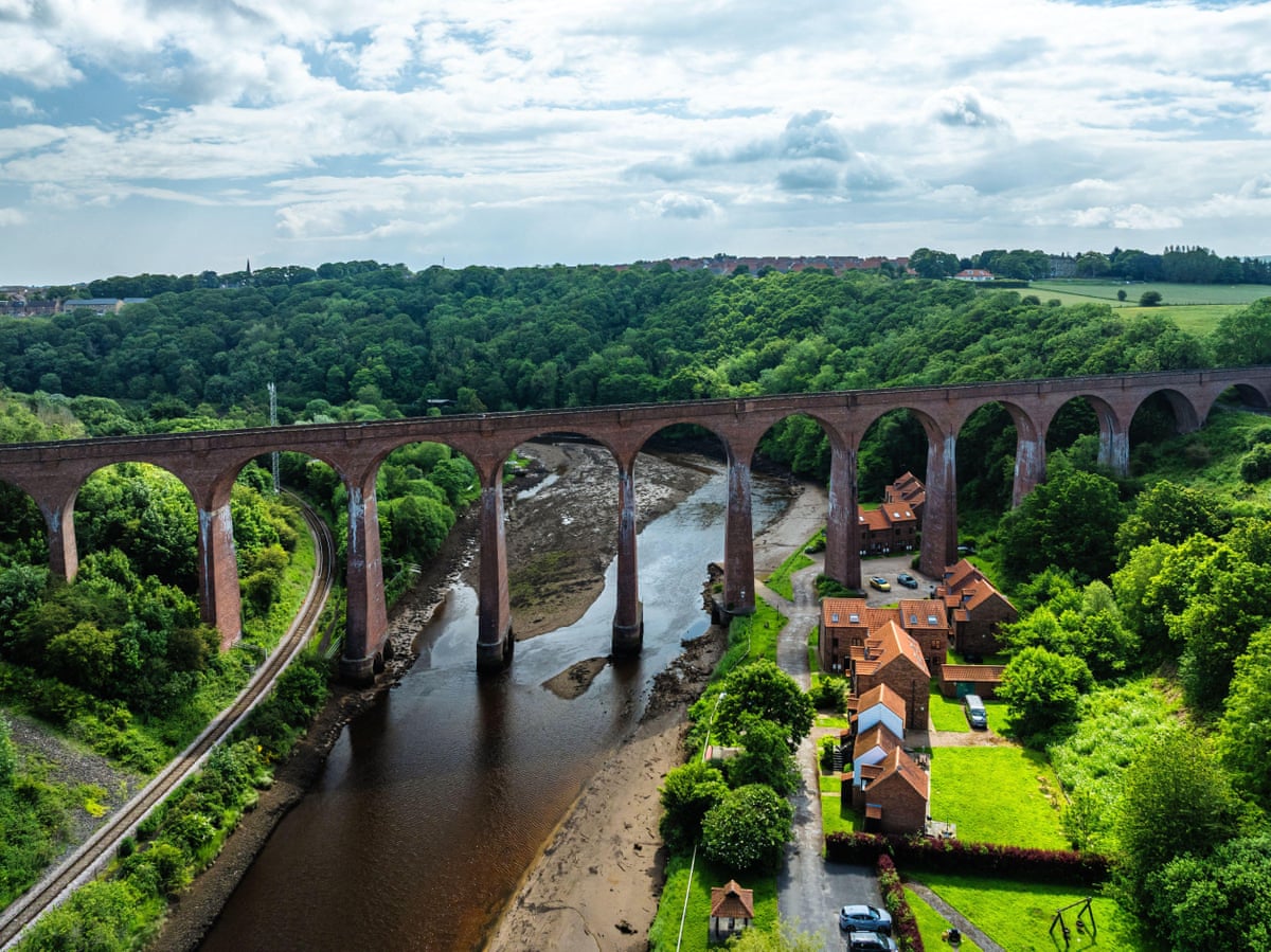
The writer first paddled this stretch with her young sons back in 2006, hiring kayaks from a boathouse established in 1874 that now also rents paddleboards. For a £5 fee, visitors can use a private jetty to launch their own equipment, useful given how limited public access is along this part of the river. Free roadside parking and a nearby bus stop make it accessible without a car. From there, paddlers can continue to a garden centre at Briggswath, just before Sleights, before turning back, passing pubs and picnic spots along the way where friends can eat or cool off while others remain on the water. Sleights itself offers a tea room serving Resolution tea and iced lemon buns as a reward at journey's end.
Why is wild camping possible along the River Dart in Devon?
High on Dartmoor, the East and West Dart converge beneath ancient woodland at Dartmeet before flowing 47 miles as the single River Dart, passing peat bogs, granite tors, oak forest, market towns and farmland before reaching the sheltered coast of south Devon. Its upper reaches remain strikingly unspoiled for southern England, running through some of the country's cleanest waters, home to salmon, sea trout and otters, bordered by ancient temperate rainforest.
The river's name is believed to come from an old Celtic term meaning "river where oak trees grow," and its lower banks are indeed lined with native oaks covered in moss and fern. Though Dartmoor is one of Britain's smaller protected landscapes, walkable across in just a few days, its mist-covered moorland and tangled woods make it remarkably easy to feel lost within it.
That sense of escape is what draws the writer back repeatedly, packing a tent and following the Dart and its side streams until finding a quiet bend to camp for the night, falling asleep to rushing water and waking early to swim in clear pools before moving on. This is possible because Dartmoor is the only place in England where wild camping is legally sanctioned, permitting one or two nights away from roads and settlements provided visitors leave no trace.
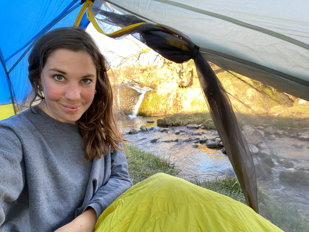
Company on these riverside nights has varied: sleeping in bivouac bags with friends and waking drenched in dew, or being startled awake by what sounded like an advancing army, which turned out to be a group of Scouts arriving late and pitching flimsy tents by headlamp. Once, at dusk, the writer glimpsed what might have been an otter sliding into the current. Most evenings, though, she has had the riverbank entirely to herself as darkness falls over the water.
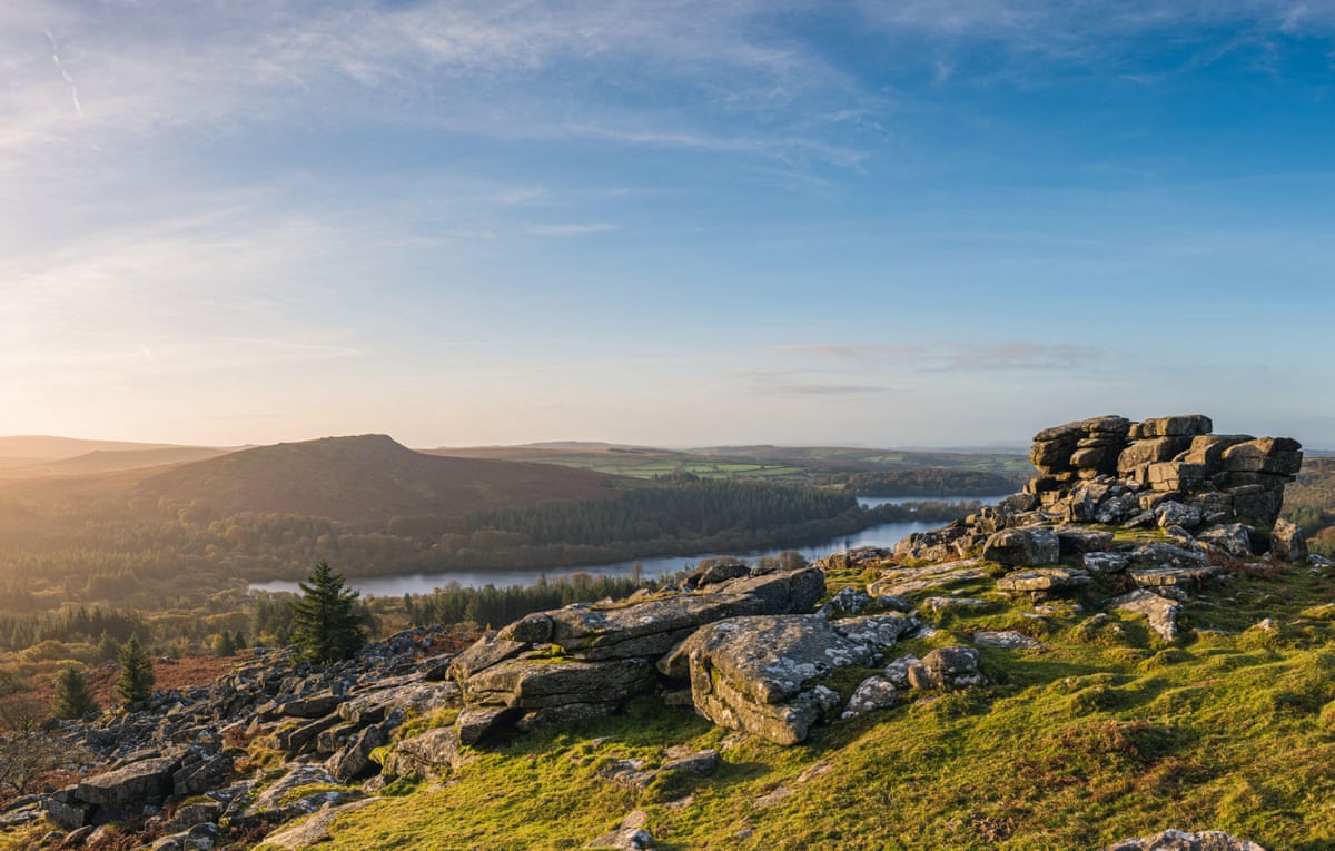
Dartmoor's status as a rare space for legal wild camping connects to a broader story about Britain's national parks: as detailed in earlier coverage marking 75 years of UK national parks, Dartmoor, along with the Lake District and Eryri, continues to offer opportunities for solitude even as visitor numbers to protected landscapes grow nationally.
What draws anglers to the River Dove in the Peak District?
Standing on the bank of the Dove in Beresford Dale, on the Staffordshire-Derbyshire border, one writer spotted a rising trout upstream but faced a dilemma over how to reach it without spooking the fish, given overhanging branches, deep pools and fast currents. After repeatedly wading in and out trying to find the right approach, he abandoned the pursuit and retreated to a fishing hut on a small peninsula formed by a river bend to reconsider his approach over coffee.
This was no ordinary shelter: built from stone with pillared doorway and a Latin inscription reading "Piscatoribus Sacrum" (Sacred to all Fishermen), the hut was constructed in 1674 by the poet Charles Cotton on his estate. A carved cipher above the lintel combines the initials of Cotton and Izaak Walton, author of The Compleat Angler, first published in 1653. Cotton later contributed a section on fly-fishing technique to the book's fifth edition, cementing its status as one of the earliest technical fishing manuals and among the most reprinted works in English.
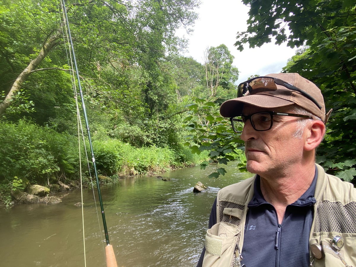
Because of this history, the Dove holds an almost mythical place among fly-fishers. The writer, who grew up nearby and once fished the Dove where it meets the Trent at Newton Solney, was long aware of its reputation, though as a young man he skipped Walton's 17th-century prose in favour of a single line passed on by a fishing teacher:
you will find it one of the purest crystalline streams you have seen.
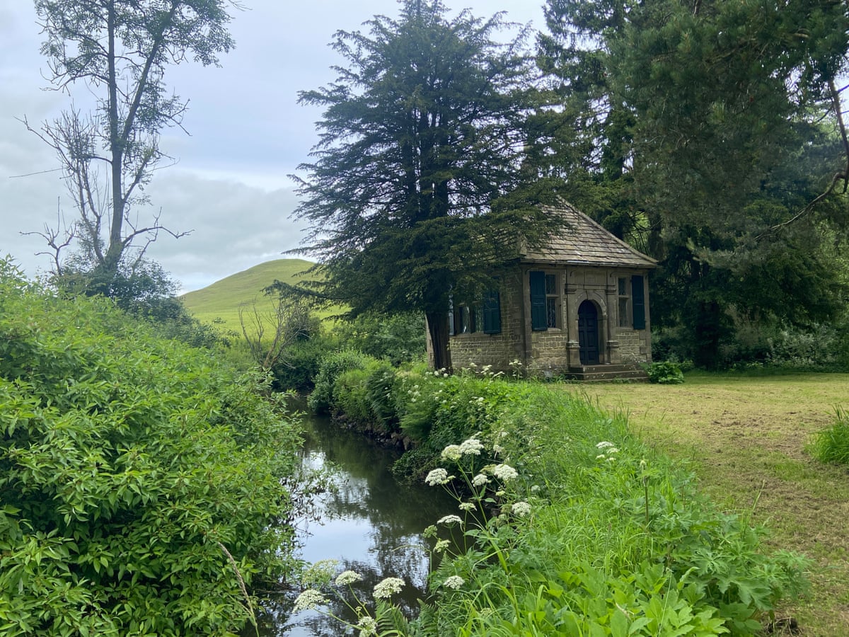
The stretch he fished, known as the Temple beat after Cotton's hut, cuts through a narrow, tree-lined dale flanked by limestone crags. Near a bridge above the Pike Pool, families paddled and splashed in the sun, while a popular four-mile walking loop from Hartington village kept the banks too busy for fishing in places, prompting him to wade instead, working the water "the vale it winds through like a snake" until reaching the rising trout and pausing for his coffee break.
He went on to lose track of time catching and releasing several small wild brown trout, at one point pausing by a hollowed dead oak to watch dippers along the banks and damselflies over the surface. Further along, a Hereford cow drank from the river against a backdrop of a green conical hill, a scene the writer compared to a pastoral painting worthy of Walton's book itself. A day ticket for the Temple beat can be booked through Fishing Breaks starting at £65.
The Dove's proximity to the Peak District links it to other outdoor traditions in the region; a previous account of a family camping weekend in the Peak District described similar combinations of hiking, wild swimming and community-run accommodation nearby in Bamford and Ladybower.
Why do the Severn and Wye begin so close together yet diverge so sharply?
Setting out early from Eisteddfa Gurig on the A44 to beat the heat, one writer aimed to visit the sources of the Severn and the Wye, two of Britain's major rivers that, despite starting only a couple of miles apart on a mid-Wales ridge, take very different paths. The route climbed Pumlumon Fawr, a 752-metre peak offering views toward the Irish Sea, across scorched, closely grazed hills that looked worryingly close to desert under the heat.
The Severn's beginning proved the more dignified of the two: a marker post stands beside a dark pool where water seeps from the bog, absent of any ceremonial garlands but scattered with sea shells apparently carried upstream by hikers from the Bristol Channel along the 224-mile route. Just downstream, the river gathers pace through a valley of fern-covered glades, giving the impression of a waterway being carefully nurtured from birth.
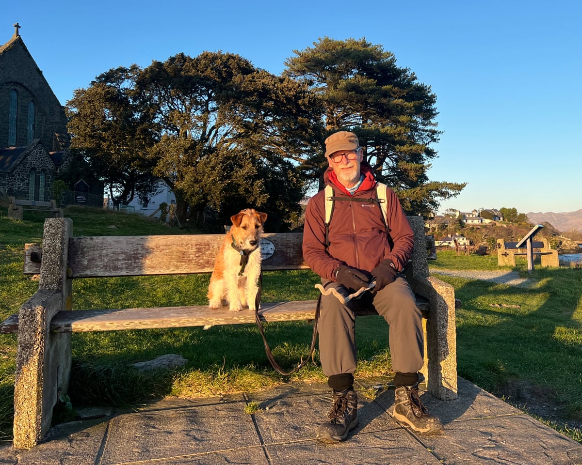
Cutting through forest towards the source of the Wye, the writer had hoped for a swim in a mountain pool, but reports of the river's condition raised doubts. Widely regarded as one of Britain's most beautiful rivers, the Wye has suffered a serious pollution crisis in recent years, with dead salmon found downstream. Campaigners have nonetheless won a significant victory in securing new legal protections for the river, including a right to flow freely and remain free from pollution, a status now adopted by authorities including Powys and Herefordshire councils.
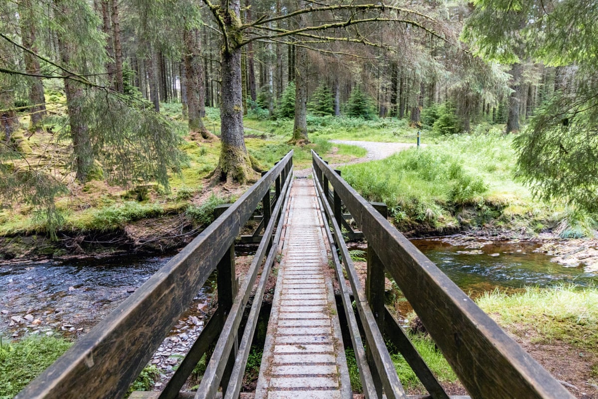
Signs of past exploitation surfaced quickly in the form of a disused mine, a reminder that human interference with the landscape is nothing new. Government figures suggest around 900 miles of England's rivers and estuaries fail current environmental standards. Skirting the old workings and continuing up the valley, the writer found the Wye's moorland origins harsher than the Severn's, its clean water quickly fouled by grazing sheep and human activity, ending any hope of a swim or even a sip at the source.
This contrast between the two rivers is not accidental: scientists have long managed and monitored these neighbouring waterways, dating back to an era before flood risk and algal blooms became pressing concerns. Yet, the writer notes, modern expectations for river health remain remarkably low compared with the 17th century, when salmon were so abundant that ordinary people could fish for themselves with ease.
Continuing along the Wye Valley Walk, a 136-mile trail whose leaping salmon emblem now seems bitterly ironic, the writer turned west up a side stream tinted an alarming reddish colour, clearly unfit for swimming. After a grim stretch of walking, a side valley revealed deep pools teeming with tiny frogs, alongside planted spruce and pine, wild orchids and bog asphodels. A dragonfly settling nearby lifted his spirits and offered hope that the Wye could recover, before he headed onward to a nearby village with a pub and campsite to end the day.
This crisis on the Wye echoes wider concerns about river health across Britain, including on the Trent, the UK's third-longest river; as earlier reporting on the River Trent's conservation efforts noted, initiatives such as the Trent Rivers Trust's Trent30 Challenge now enlist anglers to help monitor fish populations and track river health more broadly.
What is it like to canoe the Tay through Highland Perthshire?
The Tay is Scotland's longest river at 117 miles and carries more water than the Thames and Severn combined, making it Britain's mightiest by volume. It rises on the slopes of Ben Lui in Argyll, gathers strength from Highland streams, and widens through Perthshire before reaching the North Sea at Dundee.
The writer's favourite section runs from Killin to Dunkeld through Highland Perthshire, a stretch tied to family memories of picking wild raspberries, skimming stones and climbing trees during long afternoons. Her sons climbed their first Munro, Ben Lawers, nearby when they were still small, reaching the cloud-covered summit without the promised loch views but enjoying the climb regardless. Further along the banks at Lawers and Kenmore, she and her sisters have found a favoured retreat, alternating cold loch swims with a hot tub as a form of restorative therapy.
Having often walked beside the river, the writer wanted to experience it differently, setting out by canoe with her 15-year-old son Louis from Aberfeldy, a two-hour drive north of Edinburgh. After a briefing and coffee at a local outdoor centre, the pair were taken upriver with two canoes and instructor Kevin Meldrum, beginning on a calm stretch just before its meeting point with the Tay to practise paddling and turning.
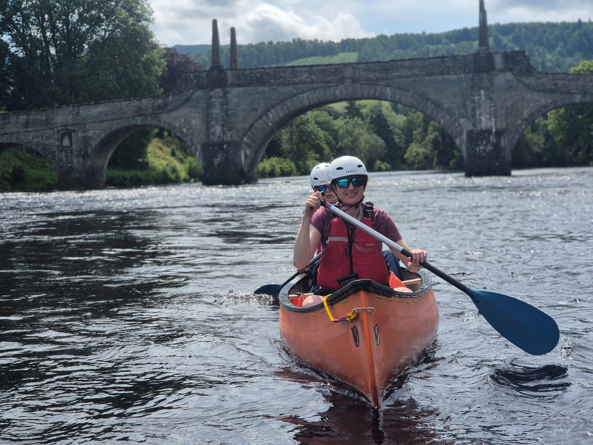
With a height difference between mother and son that might have caused the canoe to spin in circles, Kevin's guidance helped Louis learn to counter his mother's uneven paddling as they met the Tay over a gentle rapid and settled into its current, learning to read the water, steer around camouflaged anglers waiting for salmon, and spot herons standing watch in the shadows.
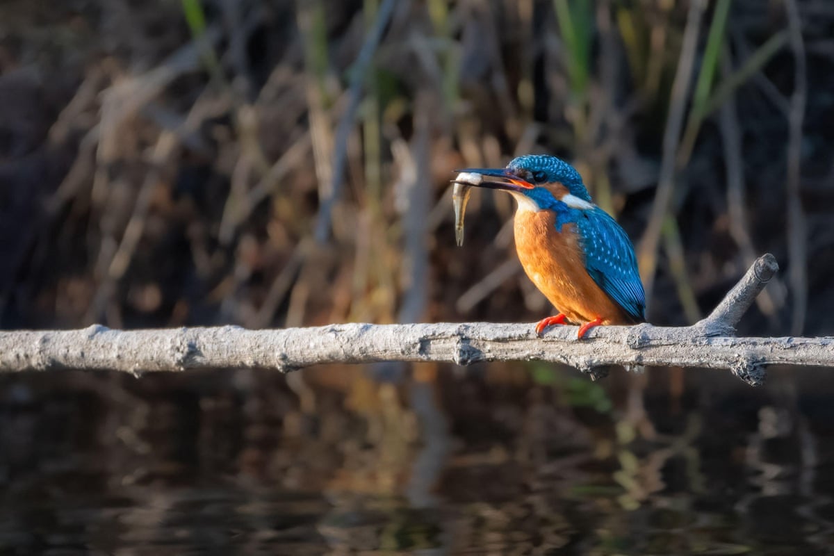
The Tay's banks are visibly changing due to a growing beaver population; although no beavers were seen directly, since they tend to emerge at dusk, the pair spotted stripped bark, felled trees, and a carefully built beaver lodge tucked into a tree-lined eddy. Pulling ashore on a small island for a picnic, the writer caught her first-ever glimpse of a kingfisher in a flash of turquoise.
Guided confidently through each set of rapids facing downstream, the pair returned to Aberfeldy after roughly three hours on the water, paddling beneath a bridge unchanged since its construction in 1733. Reluctant to end the trip, they found a deep peaty pool for one last swim before heading home, stopping in Dunkeld for pizza and cold drinks in a beer garden overlooking the river. Watching the Tay flow past, the writer reflected that the river looked different now that she had travelled with it, leaving her curious about what lay around each bend still unexplored. Half-day discovery canoeing tours are available from £63 for adults, £47.25 for children, or £199.50 for a family of two adults and two children.
Key Facts
- The Esk is the only major Yorkshire river flowing directly into the North Sea, running 28 miles to Whitby.
- Dartmoor is the only place in England where wild camping is legally permitted for one or two nights.
- The River Dove's Temple beat is named after poet Charles Cotton's 1674 fishing house, built with Izaak Walton in mind.
- The Severn and Wye rise within a couple of miles of each other in mid-Wales but follow very different paths and conditions.
- The Tay is Scotland's longest river at 117 miles and carries more water than the Thames and Severn combined.