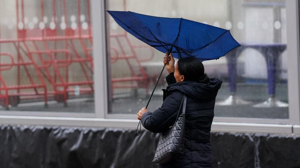
Storm Austen, the first named storm of the autumn season, will strike Wales with winds reaching 70mph (112km/h) overnight on Thursday and into Friday, bringing significant travel disruption and potential power cuts. According to BBC News, two yellow weather warnings have been issued for Wales on Friday, with heavy rain also expected across the region.
The Met Office has warned that injuries and danger to life from flying debris are possible, with some roads and bridges likely to close and damage to buildings a real concern. Longer journey times and cancellations to public transport services are anticipated as the storm moves across Wales.
The first yellow weather warning for wind runs between 00:00 and 17:00 BST on Friday, while a second warning will be in force between 10:00 and 21:00 on the same day. The Met Office extended the warning area north across west Wales and extended its duration through Friday afternoon in an update on 22 October, reflecting the storm's expanding impact.

What wind speeds should Wales expect?
Most areas will experience gusts of wind between 50 and 60mph, but coastal and exposed locations could see gusts reaching approximately 70mph. The Met Office has indicated that winds will gradually ease during Friday afternoon. Beyond Wales, the Met Office issued an amber wind warning for southwest England, citing a high risk of significant disruption with air and ferry services also potentially affected.
How much rain will fall?
The Met Office forecast 20–30mm of rain in many places, with higher totals possible over western high ground and farther north. The combination of strong winds and heavy precipitation will create hazardous conditions across the region.
What are the risks to people visiting the coast?
The Royal National Lifeboat Institution (RNLI) has issued urgent safety guidance for anyone planning to visit coastal areas in south Wales. The organisation emphasised the importance of staying vigilant and avoiding unnecessary risks during the storm.
Ross Macleod, RNLI water safety manager, stated:
If you plan to visit the coast or a waterside location, we urge you stay a safe distance from the water as conditions could knock you off your feet or wash you into the sea.
Macleod provided specific guidance for anyone who finds themselves in difficulty in the water:
Lie back in the water with your head so far back that your ears are wet, extend your arms and legs and try to relax as best as you can until you get control of your breathing before then calling for help or swimming to safety.
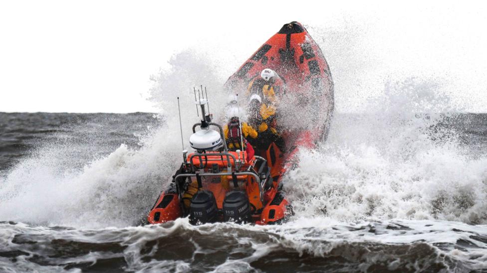
For those who witness someone in danger, Macleod advised:
Throw them something buoyant into the water and call 999 or 112 and ask for the coastguard.
Why is Storm Austen developing so rapidly?
The Met Office has identified the jet stream as a key factor in Storm Austen's rapid intensification. The storm's central pressure is forecast to fall by at least 24 hectopascals within 24 hours, demonstrating the speed at which the system is deepening and strengthening as it approaches the UK and Ireland.
What happens next?
Further periods of wind and rain are forecast to continue through the weekend and into early next week, with the heaviest rainfall expected in western areas. Residents and businesses across Wales should prepare for extended disruption beyond Friday as the weather system moves through the region.