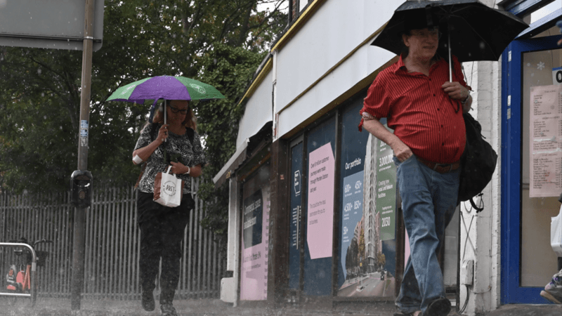
Conditions across the UK are set to become significantly more unsettled this week as rain returns, bringing a heightened risk of thunderstorms and localised flooding to parts of the country.
Showery conditions may develop across parts of southern England and south Wales by Tuesday, but the most widespread and persistent rainfall will arrive from Wednesday onwards, moving northwards from the south. The shift comes as the government intensified its drought response on 20 August, noting that August had brought only 17% of average rainfall so far.
While the incoming wet weather will provide relief to parched regions, meteorologists caution that substantially more rainfall will be required before drought conditions begin to ease meaningfully across the country.
When will the heaviest rain arrive?
Most of the UK will experience drier conditions continuing through Monday, but low pressure moving in from the south-west will bring showery outbreaks to southern England and south Wales on Tuesday.
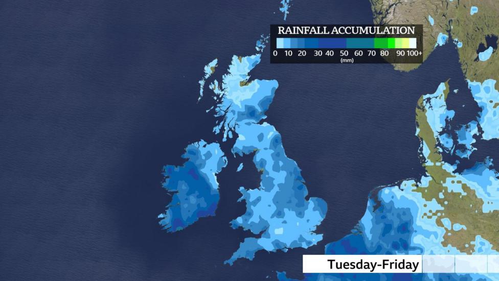
From Wednesday onwards, downpours will become more widespread across England, Wales and Northern Ireland, with Scotland likely to remain mostly dry. Heavy and thundery bursts are possible during this period.
The most significant threat emerges from later Wednesday through Friday, when torrential downpours accompanied by hail and thunderstorms will increase substantially. Southern England and Wales face the greatest risk, where heavy rain falling onto dry and hard ground may trigger localised flooding. The Met Office's flood outlook indicated that significant or severe flooding was unlikely, though localised surface-water flooding remained possible.
Wet weather is expected across most locations at times between Tuesday and Friday, though rainfall amounts will vary considerably due to the showery character of the precipitation.
Will this rainfall end the drought?
Although this week's rainfall will provide welcome relief and help restore river levels and soil moisture content, a single period of rain is insufficient to end drought conditions. The Environment Agency reported on 21 August that 71% of England by land area was now in drought, with reservoir storage down to 62.6% and 16.3% below the seasonal average.

Droughts do not end quickly following a single rainfall event. An official end to drought conditions requires that rainfall, soil moisture, river levels and groundwater levels all return to normal ranges for the time of year. According to the British Geological Survey,
significant, cumulative rainfall over a period of timeis needed to reverse drought conditions.
However, aquifers and groundwater stores have demonstrated resilience throughout the current drought. Of the 35 groundwater sites recently surveyed by the British Geological Survey across the UK, only eight (23%) are showing notably low levels. As of 18 August, five reservoirs were classed as exceptionally low, underscoring the severity of the situation in certain regions.
How warm will it get midweek?
Despite the return of wet weather, warmer air masses being pushed northwards from southern Europe will bring a temporary temperature rise across the UK.
Temperatures in Scotland and Northern Ireland are forecast to reach around 20C by Wednesday, while England and Wales could see highs of 28 or 29C towards the south-east, with the warmest conditions expected across southern England.
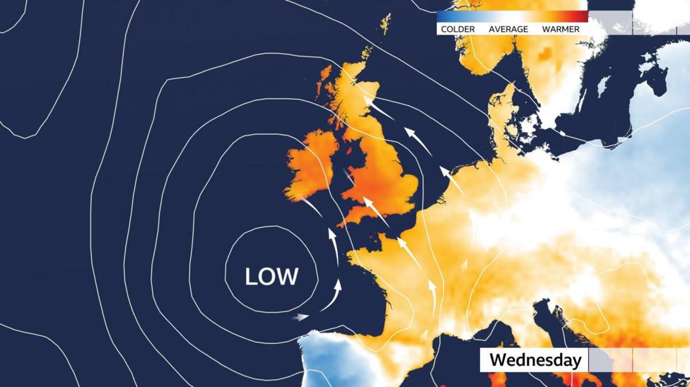
This midweek warmth will be above average as low pressure to the south-west pushes warmer air across the country. However, the heat is expected to be short-lived, and temperatures are unlikely to reach heatwave thresholds again before the end of August.
Further ahead, some computer models are suggesting that higher pressure may build into the second week of September, which could push warmer air towards the UK again, though this remains uncertain at this distance.
What happens next?
Low pressure is expected to remain influential through the week ahead, bringing outbreaks of rain and showers at times. However, the government's drought forecast suggests that a good deal of dry weather will likely persist through the remainder of August and into September, with no strong signal for sustained widespread rainfall that would rapidly reverse drought conditions.
Readers should monitor the monthly outlook for the latest thoughts on the long-range forecast as the situation develops.