The United Kingdom faces the prospect of its first named storm of the autumn season as meteorological models indicate a deep area of low pressure could traverse the country later this week. According to BBC News, a strengthening jet stream driven by temperature contrasts across North America will generate turbulent atmospheric conditions. All regions will experience rainfall at various times, including areas currently experiencing drought conditions, though the precise amount will depend on the exact trajectory of the stormy low-pressure system.
Following a chilly weekend, temperatures are expected to remain slightly below the mid-October average across the UK. This potential storm arrives after an unusually calm and dry autumn, with significant rainfall deficits persisting across large portions of England and Wales.
How dry has autumn been so far?
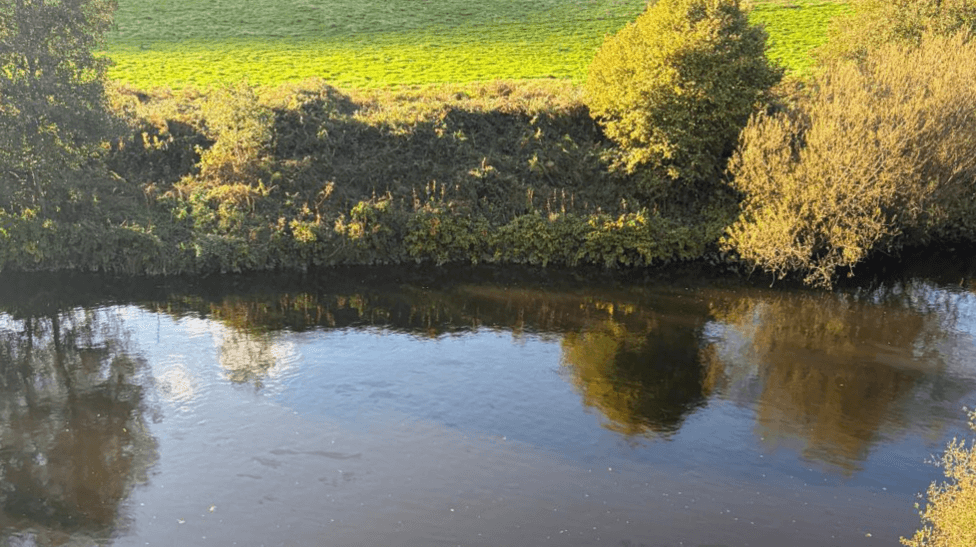
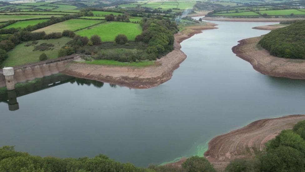
Autumn has delivered relatively benign weather across many areas with minimal disruptive conditions and insufficient rainfall across extensive regions of England and Wales. Parts of Herefordshire have received only approximately one-tenth of the rainfall typically expected by this stage of October, and parched conditions continue to dominate much of England. The Environment Agency declared severe drought on 15 October in parts of Cornwall, Devon, Dorset, Somerset, East Sussex and West Sussex, citing depleted reservoir levels following the driest April–September period in more than a century.
The current month perpetuates the warming pattern observed throughout 2026, with mean temperatures—calculated as the average of maximum and minimum daily temperatures—ranging between 1 and 3 degrees Celsius above normal for October. England's reservoir storage stood at 54% of capacity—approximately 21% below the long-term average for the time of year—in the week ending 15 October. The drought situation has expanded significantly, with Yorkshire entering drought status on 9 October, joining areas across central, southern and eastern England, bringing the total to 11 areas in drought status.

Over the weekend preceding this forecast, all four nations recorded their lowest temperatures of the autumn season to date. Parts of Scotland and Northern Ireland dropped to minus 4 degrees Celsius on Sunday morning, minus 2 degrees Celsius was recorded in northern England, and Wales registered its first air frost of the season.
What will the weather be like over the next few days?
After a frosty start in Scotland and Northern Ireland on Monday, conditions will become increasingly cloudy. Overnight rain affecting England and Wales will largely clear, allowing skies to brighten. The start of the week should prove slightly milder than the weekend.
Tuesday will bring cloudy skies with rain developing across England, Wales and Scotland. Northern Ireland may remain dry with periods of sunshine before another band of rain arrives from the Atlantic by the end of the day. Bands of rain will progress across the UK on Wednesday before atmospheric conditions deteriorate significantly in some areas towards the end of the week.
How severe could the storm be?
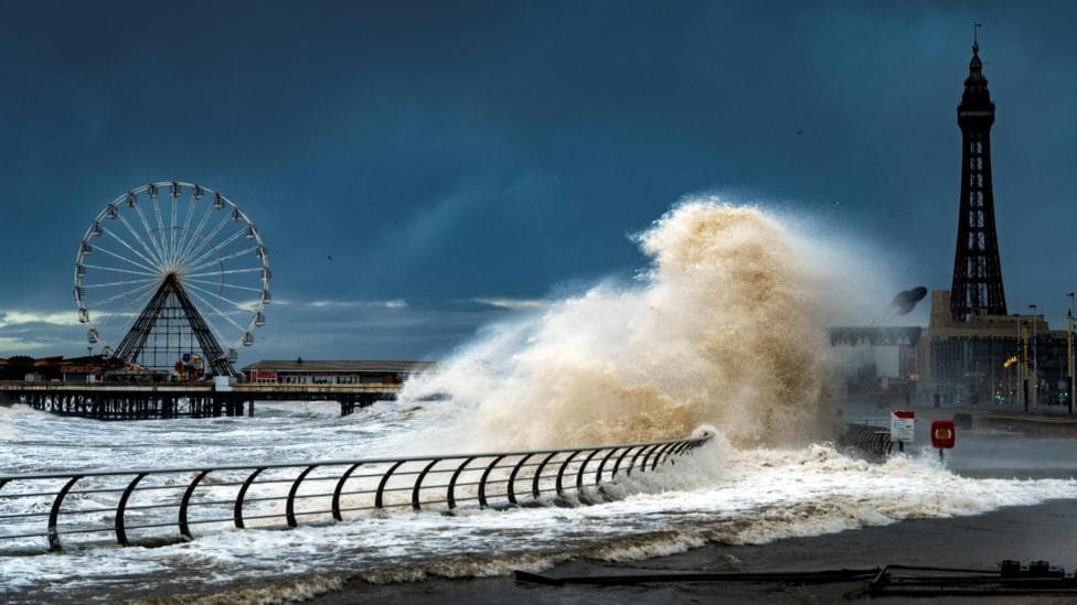
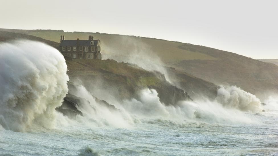
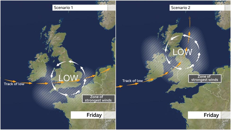
Weather models suggest the jet stream could guide a deep area of low pressure across the UK by Friday. In addition to heavy rainfall, gales or even severe gales will be associated with this deep low-pressure system. Current computer models predominantly show the centre of the low-pressure system passing south of the UK, with the strongest winds concentrated over southern areas. The highest risk of disruptive winds would affect the southernmost parts of England and Wales and possibly some eastern coastal counties of England later on Friday. Such a track would leave Scotland and parts of Northern Ireland with relatively quieter weather conditions.
However, some computer models indicate the deep low could follow a more northerly trajectory. Should this occur, gales and disruption could be expected more extensively, with significant impacts also affecting Scotland and Northern Ireland. The uncertainty surrounding the track means the forecast remains subject to change, and it is essential to monitor any potential Met Office weather warnings as the week progresses.
Will this become the first named storm of the season?
The UK storm season operates from September through August, and reaching this stage of autumn without any named storms is not unusual. If the UK Met Office or Ireland's Met Éireann anticipate this week's low-pressure system will produce significant impacts, they would issue weather warnings at an amber level or higher. Should the storm meet the criteria for naming, it would be designated 'Storm Austen'.
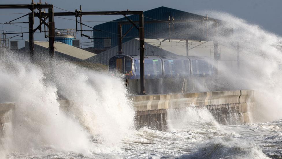
It remains possible that the low-pressure system could follow an even more southerly track, resulting in greater impacts across France and reduced effects across the UK. In such a scenario, the French weather service MeteoFrance could assign it the name 'Storm Bruna'. Developments at the end of the week will also shape potential weather conditions into the following week, with some computer models indicating further stormy weather at intervals, while others suggest quieter conditions developing under a high-pressure system.
What happens next?
The Environment Agency has scheduled its next drought-readiness meeting for 19 October to assess the ongoing situation and response measures. Meanwhile, forecasters will continue to refine predictions regarding the low-pressure system's track and intensity as Friday approaches, with updated weather warnings expected to be issued as confidence in the forecast increases.
Key Facts:
- A deep low-pressure system is forecast to cross the UK by Friday, potentially bringing the first named storm of the autumn season
- The Environment Agency declared severe drought in six southern English counties on 15 October, with 82% of England in drought status overall
- England's reservoir storage has fallen to 54% of capacity, approximately 21% below the long-term average for mid-October
- The exact track of the low-pressure system remains uncertain, with impacts potentially ranging from southern England only to affecting all four nations
- Temperatures are expected to remain slightly below average for mid-October following the weekend's record autumn lows