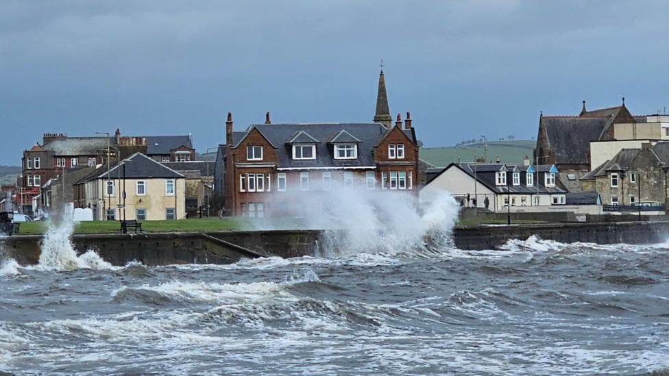
More than a dozen ferry services across Scotland have been cancelled for the remainder of the day as powerful gales and heavy rain sweep across the country. A Met Office yellow weather warning remains in effect across parts of the Highlands and Western Isles until 19:00, with wind gusts forecast to reach 70mph (113km/h) in exposed locations. The disruption extends beyond maritime transport, affecting airports, roads and rail services as the remnants of Hurricane Isaias move across the UK.
Sailings on 14 CalMac services have been cancelled, with the ferry operator warning all remaining routes on its west coast network to prepare for disruption or cancellation at short notice. According to local reports, CalMac listed 13 routes with cancelled sailings while 17 other routes faced possible disruption, with some services due for review at 3pm. Normal operating hours are expected to resume on Thursday. Passengers are urged to verify whether their service is operating before travelling.
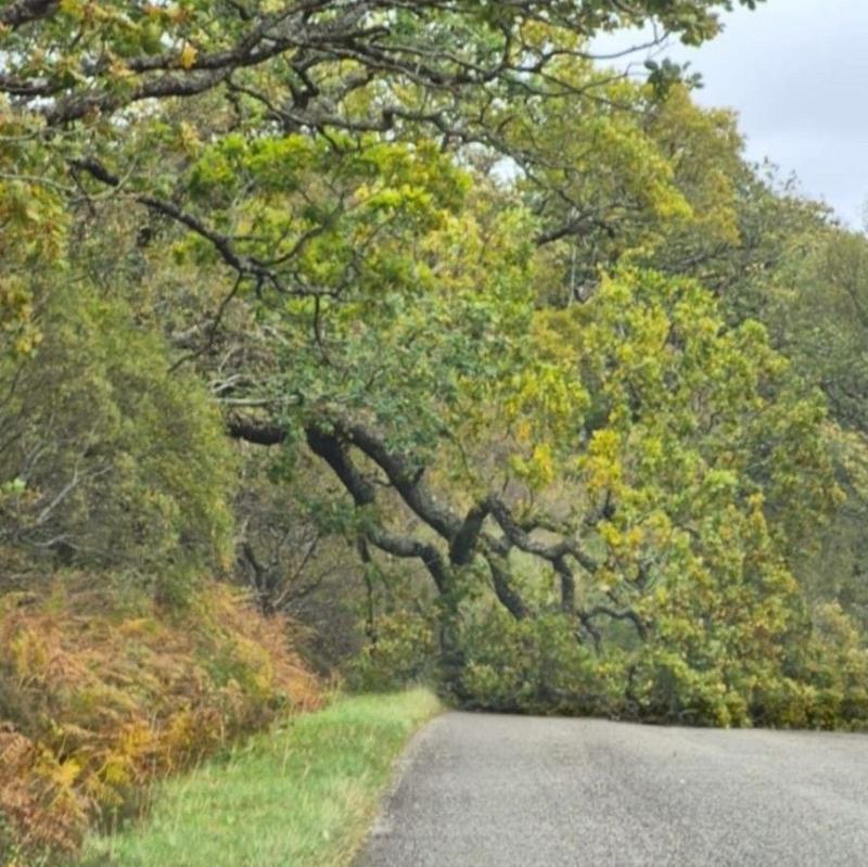
Barra Airport and Benbecula Airport have both closed due to strong winds, resulting in the cancellation of all flights. Beyond aviation, ScotRail imposed speed restrictions because of the gales, adding rail disruption to the transport chaos already affecting ferries and flights. Several roads near the north-west coast have been blocked by fallen trees, including the B8056 near Shieldaig and the B863 near Kinlochleven.
What is the extent of the weather warning?
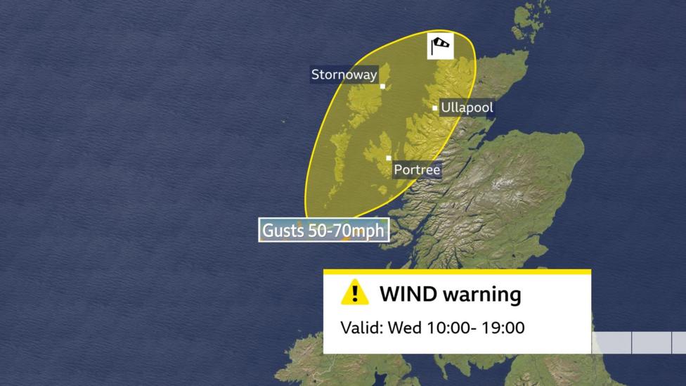
The Met Office yellow weather warning covers a significant portion of northern Scotland and carries a high risk of moderate impacts across multiple sectors. Widespread gusts of 50-60mph (80.5km/h-96.6km/h) are likely, with 70mph (113km/h) possible for exposed coasts and hills around midday. The warning extends until 19:00 BST and specifically cautions against disruption to rail, air and ferry transport, delays on roads and bridges—particularly affecting high-sided vehicles—and the possibility of short-term power cuts.
Outside the formal warning area, Shetland is also anticipated to experience gusts around 50mph (80.5km/h), though less disruption is expected there. In other parts of Scotland, Northern Ireland, northern England and north-west Wales, gusts of approximately 40mph (64.4km/h) are possible. According to the Met Office's marine forecast, storm-force winds are expected for a time in the far northwest, with seas very rough or high around Rockall and the Hebrides.
How did Hurricane Isaias develop into a UK weather threat?
Hurricane Isaias was the first Atlantic hurricane of the 2024 season and made landfall in the southern United States last Friday. The storm weakened rapidly and ceased to be classified as a hurricane, but its remnants produced heavy rain across the eastern side of North America. A powerful jet stream then captured the weakened system over the Atlantic, where it underwent what meteorologists describe as explosive cyclogenesis—commonly referred to as a weather bomb—developing into an area of low pressure.
The centre of the resulting storm will pass hundreds of miles away, tracking close to Iceland rather than directly over the UK. However, the outer bands of the system are delivering significant wind and rain to Scotland's north-west, the region most exposed to Atlantic weather systems. The wind and rain are expected to clear overnight, with colder and drier conditions forecast for later in the week.
What broader context does this weather event have?
September marks the traditional start of storm season in the UK, and the Met Office recently released official storm names for the 2026/27 season. This timing is particularly significant given recent trends in weather-related disruption and damage. According to industry data, UK property insurers paid a record £6.1bn in claims in 2025, with weather-related claims accounting for £1.2bn of that total, highlighting the growing financial impact of severe weather events on the insurance sector and broader economy.
What happens next?
The Met Office forecasts that winds will ease Wednesday night and into Thursday, while rain across the north-west will gradually move south-eastward, followed by scattered showers. Passengers and road users should expect conditions to improve significantly by Thursday, when ferry services are anticipated to resume normal operations. Travellers are advised to continue monitoring weather updates and service status before making journeys over the next 24 hours.
Key Facts:
- 14 CalMac ferry services cancelled; 17 others face possible disruption
- Met Office yellow warning valid until 19:00 BST with gusts up to 70mph forecast
- Barra and Benbecula airports closed; all flights cancelled
- ScotRail speed restrictions imposed; roads blocked by fallen trees
- Conditions expected to improve Thursday as system moves away