Waterways across Britain and Ireland remain rich sources of natural beauty and outdoor adventure, despite recent drought conditions affecting many regions. Readers have shared their most cherished riverside journeys, revealing hidden gems and well-trodden paths that showcase the landscape from multiple perspectives. These routes span from Yorkshire moorland to Irish wetlands, offering walkers, cyclists and boaters a chance to connect with nature and history.
According to recent reporting on European water conditions, UK and Irish rivers experienced widespread drought pressure during August 2026, yet they continue to support diverse ecosystems and recreational opportunities. The following routes demonstrate how these waterways remain accessible and rewarding destinations year-round.
What makes the Wharfe valley special?
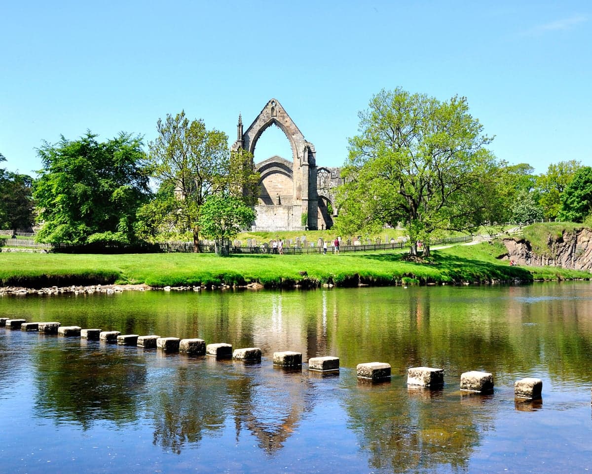
A six-mile riverside walk from Ilkley to Bolton Abbey along the River Wharfe showcases the Yorkshire Dales at their finest. The journey begins at Ilkley's southern bank near the remains of a Roman fort, then traces the path to an ancient stone bridge and the picturesque village of Addingham, where Low Mill weir and views of late bronze age or early iron age settlements punctuate the landscape. Continuing along the riverbank leads to the splendid remains of a 12th-century monastery situated in wonderful woods and parkland. The fast-flowing water and calming vistas make this one of northern England's most rewarding day walks.
The River Wharfe has a designated flood alert area for low-lying land and minor roads in the valley floor, reflecting the recurring flood risk that characterises this dynamic waterway.
How does a Norfolk Broads cruise differ from other river journeys?
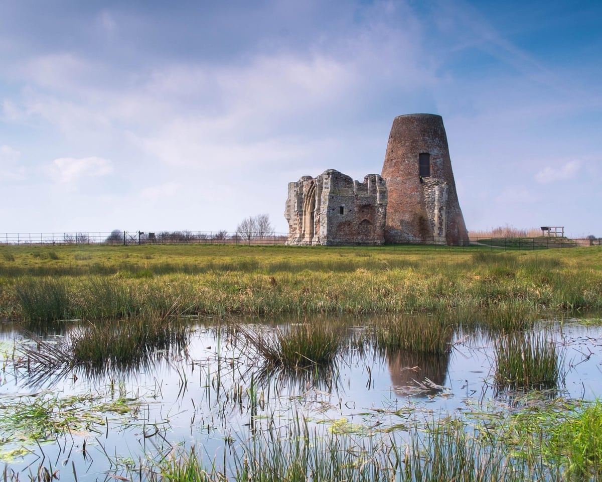
A week cruising the River Bure in Norfolk from Acle to Coltishall offers a fundamentally different pace of travel. With a speed limit of 5mph enforced throughout, life slows considerably, allowing ample time to absorb the ever-changing landscape and wildlife. Numerous stopping places provide access to nature reserves, quintessentially English villages such as Belaugh, the romantic ruins of a medieval priory, as well as riverside pubs and the Broads themselves. The journey culminates in Coltishall with its cafes and shops, but not before a stop at Roys of Wroxham—marketed as the world's largest village store—an essential port of call to restock supplies. Boats can be hired from several locations and are easy to handle, requiring no prior experience.
Where can you find nature within a city?
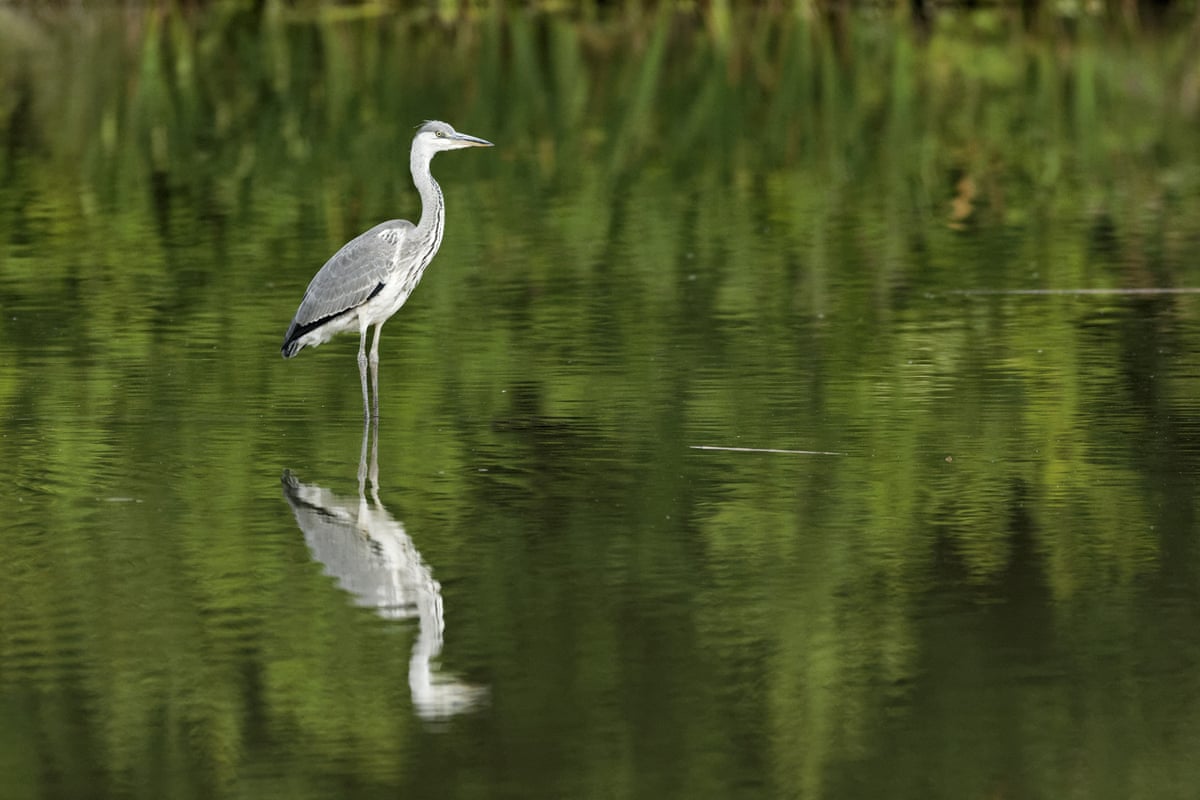
For those seeking a peaceful walk close to an urban centre, the riverside trail following Coventry's River Sowe offers an unexpected escape. This 8½-mile path runs from Hawkesbury Junction to Whitley Grove Wood, tracing the River Sowe—a tributary of the Avon—through woodland, waterways and urban landscapes. Herons, moorhens and other wildlife appear regularly along the route, demonstrating how nature thrives in unexpected places and reminding walkers that urban environments can harbour rich biodiversity.
What draws visitors to Edinburgh's Water of Leith?
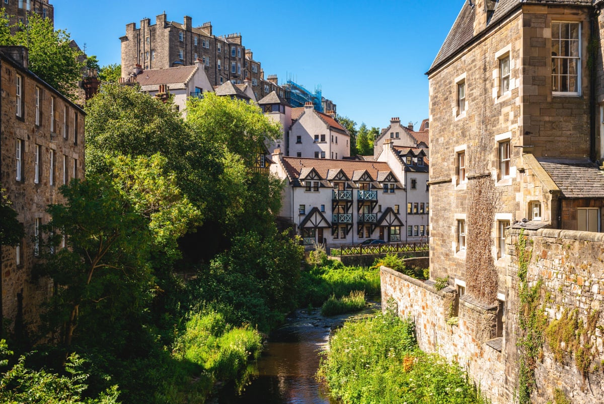
The Water of Leith Walkway represents a 12-mile riverside journey through Edinburgh from Balerno to Leith, maintained by the Water of Leith Conservation Trust. A popular introductory section runs from Roseburn—a mile west of Princes Street—downstream to Stockbridge, covering about two miles in roughly 45 minutes. The path passes through Dean Village and St Bernard's Well, with kingfisher sightings possible on fortunate days. The walkway's fishing season operates only from 1 April to 30 September 2026, reflecting seasonal management of the river corridor.

An upcoming Water of Leith Half Marathon is scheduled for 26 September 2026, starting in Balerno and finishing in Leith, offering another way to experience this celebrated waterway.
How does a source-to-sea walk reveal landscape change?
A five-day walk following the 65-mile River Welland from source to sea demonstrates how a single waterway transforms across regions. Beginning at Sibbertoft near Market Harborough in Leicestershire, the route traces the Rutland-Northamptonshire border past settlements near Corby, through Stamford and the poet John Clare's birthplace at Helpston. The path then ventures into the fens, stopping at the ruined medieval abbey at Crowland and the elegant canal-side town of Spalding. The final day involves slowly watching the Boston Stump—St Botolph's church—grow larger as the walker approaches where the river meets the sea, creating a sense of arrival and completion.
What makes Ireland's Shannon distinctive?
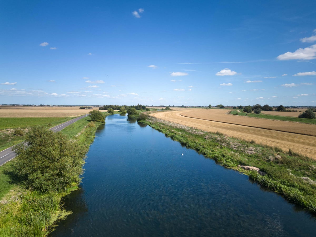
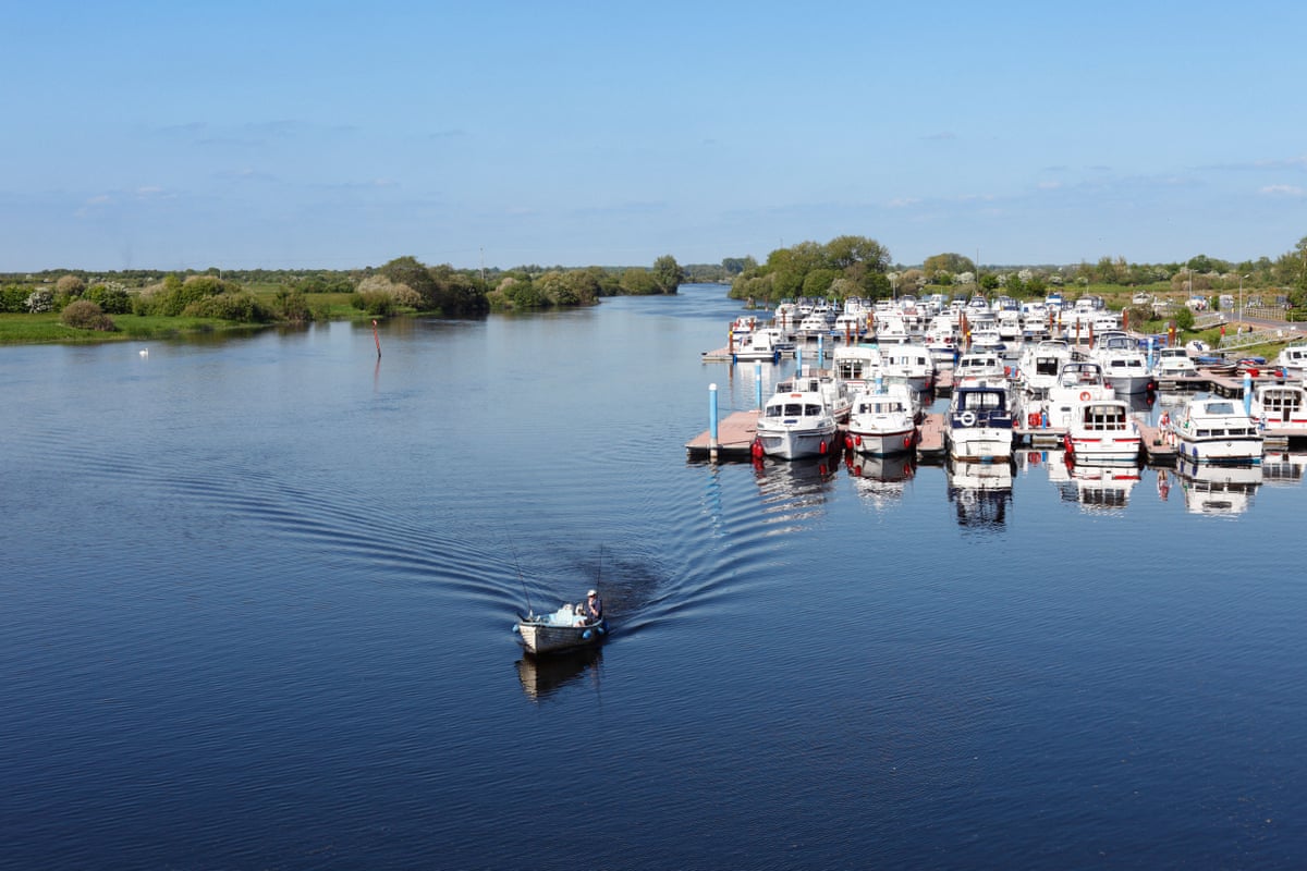
Shannon Harbour in the Irish Midlands marks where the Grand Canal meets Ireland's River Shannon, a waterway often compared to America's Mississippi Delta. The landscape transforms utterly once you leave the canal and enter the Shannon proper. On a warm day, the transition feels like leaving rural Ireland for something altogether more expansive and wild. On a wet day, visibility shrinks so dramatically that the far bank disappears entirely. The journey from Shannon Harbour downstream reveals a different Ireland—one shaped by water, weather and the moods of a major river system.
According to Ireland's EPA, river nitrogen levels rose in the first half of 2026 compared with the same period in 2025, highlighting ongoing water quality monitoring across Irish waterways.
Why is York's Ouse valley historically significant?
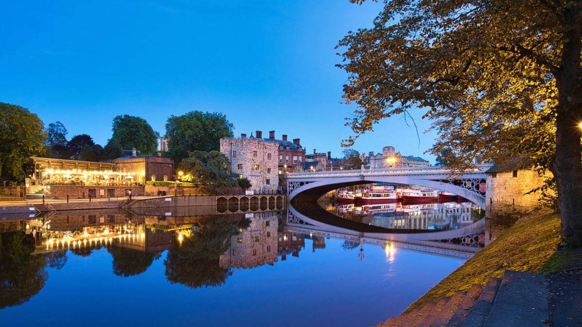
North Yorkshire's River Ouse guides walkers through York and beyond, revealing layers of history at every turn. The route begins by crossing Scarborough Bridge before strolling down Dame Judi Dench Walk, then meanders past Roman and medieval ruins at a historic site. A cafe housed in a medieval tower on the riverside provides a natural stopping point. The path continues downstream to Rowntree Park and Millennium Bridge, though walkers should beware of cobbles and step-only access in places.
What natural drama does the Tees offer?
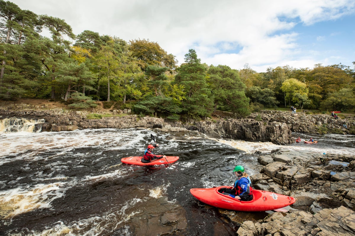
The River Tees crashes over High Force waterfall amid dramatic moorland before bubbling over Low Force downstream. Parking at Bowlees and crossing the Tees at Low Force via the historic Wynch suspension bridge—built in the 1830s to replace Britain's first suspension bridge, constructed by lead miners in 1741—provides access to this spectacular section. The bridge offers an excellent vantage point to watch kayakers tackle Low Force. Continuing upstream through moorland leads to the roar of additional falls, with a nearby cafe providing refreshment after the exertion.
How does the Ouse connect the South Downs to the sea?
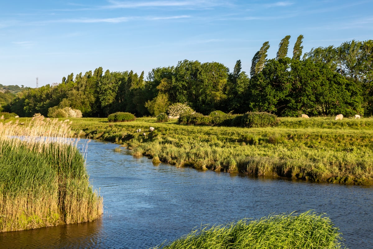
Following the River Ouse—one of five British waterways bearing this name—to the sea offers enjoyment whether travelled on foot or by bike. Starting near Horsham in West Sussex and tracking the designated route through the South Downs allows walkers and cyclists to cross rolling fields and wander through woodland paths. A pause at a beautiful National Trust garden provides cultural enrichment alongside natural scenery. The river walk passes under a 37-arch Victorian railway viaduct near Balcombe and leads to the historic town of Lewes in East Sussex, where a riverside cafe offers a break with views of the flowing water. The final stretch consists of easy, flat riverside walking as the coast comes into sight, leading into Newhaven.
How can you contribute to river monitoring?
The Rivers Trust's Big River Watch is running from 18 to 24 September 2026, inviting public submissions on river conditions and wildlife via a free app. The survey asks people to record pollution, wildlife and river conditions in about 15 minutes, with results displayed on a live dashboard. This citizen science initiative allows riverside visitors and residents to contribute valuable data on the health and character of Britain and Ireland's waterways, helping scientists and conservation organisations understand the impact of summer conditions on aquatic ecosystems.
Key facts
- Eight reader-submitted routes span from the Tees in County Durham to the Shannon in Ireland's Midlands
- Routes range from 2-mile urban walks to 65-mile source-to-sea journeys, accommodating all fitness levels and time commitments
- The Big River Watch citizen science survey runs until 24 September 2026, allowing the public to monitor river health
- Historic features along these routes include Roman forts, medieval abbeys, 12th-century monasteries and Victorian engineering
- Seasonal considerations apply: the Water of Leith fishing season closes on 30 September 2026, and flood alerts remain active on certain sections such as the upper Wharfe