Arctic air will continue to dominate conditions across the UK as the weekend begins, with cold health alerts remaining active across a substantial portion of England. According to BBC News, Saturday will bring another sharp and widespread frost, with the most severe conditions expected in England and Wales. Patches of freezing fog pose a significant hazard, particularly in southern and eastern England, where visibility could be severely reduced and road surfaces may become extremely slippery.
The pattern will shift dramatically by Sunday, when most areas will experience a frost-free start to the day. However, heavy bursts of rain and brisk winds will sweep across the country as the day progresses, bringing a marked change from the current cold, dry conditions.
The UK Health Security Agency has issued yellow cold-health alerts, marking the first such alert of winter 2026/27. These alerts cover the North West and West Midlands from 9am on Thursday 12 November until noon on Saturday 14 November, with yellow alerts indicating conditions unlikely to affect most people but potentially harmful to particularly vulnerable individuals.
What hazards will Saturday morning bring?
Saturday will dawn with temperatures widely below freezing across parts of England and Wales. In towns and cities, lows are expected to fall to between -2 and -3°C, but in rural areas they could plummet to as low as -5°C. The most severe frost is anticipated in the southern half of the British Isles.
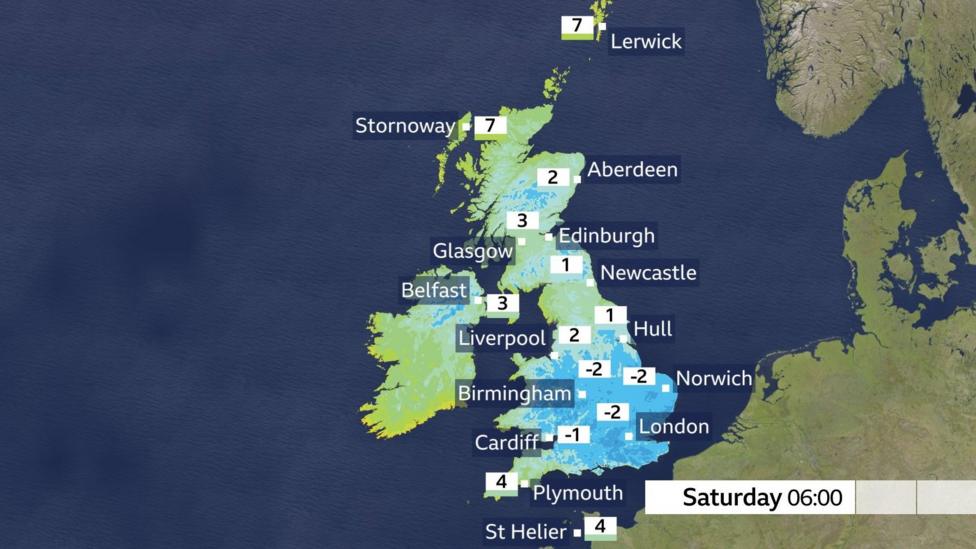
Freezing fog and rime ice will create particularly treacherous conditions on untreated roads and pavements, especially in southern and south-east England. This type of fog forms when super-cooled water droplets remain suspended in air that is below freezing. When these droplets make contact with surfaces, they freeze on impact, transforming untreated pavements into hazardous ice rinks almost instantaneously.
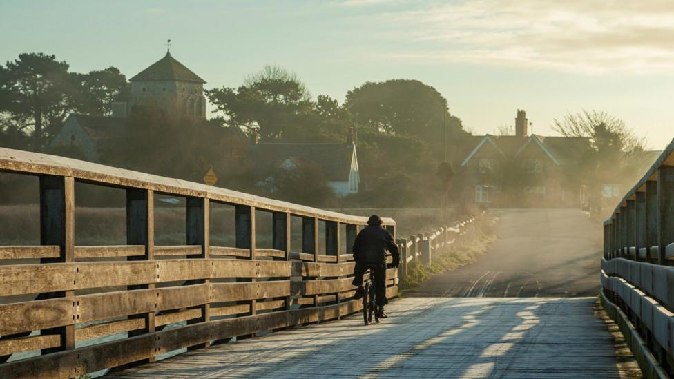
A more noticeable breeze further north will mean most places in Scotland and Northern Ireland will remain a few degrees above freezing, reducing the frost risk in those regions. After the fog and frost clear during the morning, Saturday will largely become a bright and dry day across much of the country.
How will temperatures change through Saturday?
By the afternoon, temperatures will rise noticeably across the UK, ranging from 7°C in parts of the Highlands to a milder 12°C in south-west England. England and Wales are forecast to see long spells of sunshine, with only the occasional shower expected early on in the far north-west. Northern Ireland will experience some bright spells in the morning, but cloud will thicken during the afternoon with rain arriving by evening. A few showers are expected in parts of Scotland, where it will also be a breezy day, and conditions will feel colder due to wind chill effects.
What changes will Sunday bring?
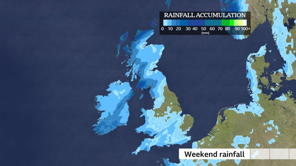
The chilly but mainly dry spell that has persisted will be replaced by much more unsettled conditions on Sunday as low pressure sweeps in from the Atlantic. Areas of showery rain will drift from west to east across much of the UK. The Met Office forecast indicates that rain on Sunday 15 November could be heavy, with hill snow possible in the north.
The heaviest rainfall is likely to occur in Scotland and Northern Ireland, as well as in southern and western parts of England and Wales. This development represents generally positive news for regions still experiencing drought or severe drought conditions, though parts of eastern England may avoid most of the rainfall.
What happens next?
As the weekend progresses and the rain system moves through, conditions will gradually become less cold. The transition from the current Arctic air mass to a more Atlantic-influenced pattern will bring milder but wetter weather into the following week. Residents in drought-affected areas should monitor rainfall totals closely, as the expected precipitation may provide meaningful relief to water-stressed regions across the country.