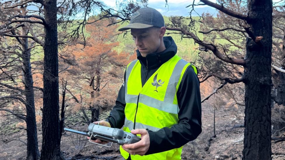
Drone pilot Pete Short has spent nearly three months systematically searching for underground hotspots across the Cairngorms National Park following a devastating wildfire that tore through the landscape in July. What remains invisible to the naked eye—fires still burning beneath the soil—becomes starkly visible through thermal imaging technology, revealing a hidden battle that continues long after the visible flames have vanished.
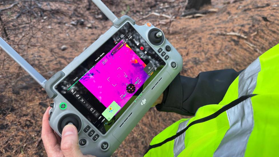
On a dawn patrol in early autumn, Short launches a thermal drone into the morning sky above the scorched woodland. The aircraft transmits real-time thermal images to his screen, where heat signatures appear as bright white glows against a dark background. Within minutes, a suspicious white spot materializes beneath a tree canopy.
"Every week I hope that I find none," Short explains. "On the last thermal flight I did we found eight."
The fire that ignited near Ryvoan Bothy on 15 July burned across approximately 3,300 hectares of land, though later reporting indicated the total area affected was closer to 10 square miles (25 sq km). At the height of the emergency, more than 500 firefighters were deployed to combat the blaze, and some homes and campsites were evacuated as the fire spread rapidly across the hillsides.
Following the drone's coordinates to the thermal hotspot, the landscape initially appears unremarkable. The soil feels warm to the touch, and a rock picked from the ground radiates heat. After scraping away a thin layer of earth, smoke begins to rise from beneath the surface.
"It's really now cooking away," Short says. "Without the thermal technology we would be totally blind to this."
Why underground fires remain a threat
Three months after the initial ignition, heat continues to be detected beneath the ground across multiple locations. These subsurface fires pose a genuine danger: each hotspot carries the potential to reignite into a larger wildfire, particularly if weather conditions shift or if the burning material is disturbed.
When drones identify these hotspots, the coordinates are reported to land managers who dispatch teams to excavate the affected areas and extinguish the flames with water. For Ben Jones, senior site manager for the RSPB at Abernethy, this precision targeting has been essential to managing the ongoing response.
"We've been fighting this fire for over two months now and obviously we've got limited resources in terms of the number of people we have and we can't send everybody out everywhere all the time," Jones explains. "So we really need to know where these specific hot spots are - where we should be sending people - so that they can be as efficient as possible."
Even as colder, wetter weather arrives, these remaining fires cannot be abandoned.
"Each of these hot spots has got the potential to reignite a larger fire," Jones says.
How drones are being repurposed for recovery monitoring
The thermal drones that proved critical during the emergency response are now being assigned a longer-term mission. Short is programming them to fly identical routes repeatedly over the damaged landscape, using predetermined waypoints to capture photographs and video from the same positions month after month and year after year. This systematic approach will allow conservationists to document the landscape's recovery in unprecedented detail.
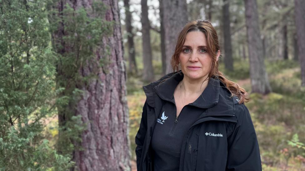
Dr Sarah Henshall, head of conservation at the Cairngorms National Park Authority, emphasizes the value of this monitoring capability.
"This standard drone route will have exactly the same route flown month by month, year by year and visually it's going to give us some amazing information about how it's recovering," Henshall says.
The ecological recovery timeline remains uncertain.
"Some of that will be incredibly quick, some of it will take years, decades, or even beyond our lifetime," Henshall notes. "It will recover, but we just don't know what that's going to look like yet."
What signs of recovery are already visible?
Walking through the forest reveals the scale of the devastation. Tree trunks are blackened and charred, the acrid smell of fire still lingers in the air, and large sections of the forest floor have been scorched to ash. Yet within this landscape of destruction, early signs of renewal are emerging. Green shoots push through the blackened soil, fungi are beginning to colonize the burned areas, and small yellow flowers have already sprouted from the charred ground.
Could drones prevent future wildfires?
Beyond monitoring recovery, drone technology may play a preventative role in future fire management. Short believes that obtaining an aerial perspective above the tree canopy quickly could prove critical to stopping wildfires before they escalate.
"It's those moments before a wildfire gets out of control that could be critical to stopping it before it gets out of hand," he says.
What is the current status of park access?
The Cairngorms National Park has begun reopening sections of its trail network following the fire. The Ryvoan Trail and the full Meall a'Bhuachaille circuit have reopened after restoration and safety work, though the right of way beyond the Green Loch towards Nethy Bridge remained closed pending safety checks. During the fire's peak, a wind shift caused a major flare-up that prompted a precautionary evacuation of Nethy Bridge; residents were able to return on 25 July after a firebreak was established.
What happens next for trail restoration?
Back on the ground during the patrol, another hotspot is discovered. From a distance, there is almost nothing visible. But guided by the drone's thermal data, the precise location is identified. Beneath a thin layer of earth, heat radiates and smoke becomes obvious after the soil is disturbed. Another coordinate to report, another fire for the ground teams to extinguish. Above the forest, the first signs of life are emerging, but below the surface, the last flames of the summer's catastrophe continue to burn.